Large airport · Cambodia

Sihanouk International AirportVDSV
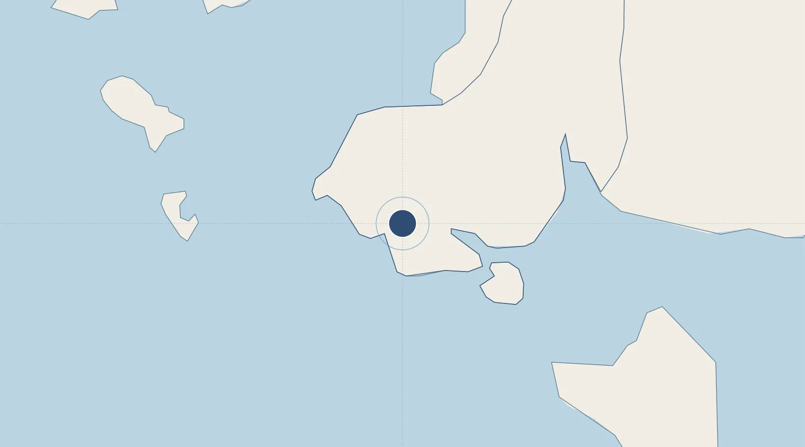
10.5706°, 103.6321°
8,202 ft
Longest runway
1
Runways
33 ft
Elevation

Runway & Layout

Sihanouk International Airport runway & taxiway layout
Runway & taxiway layout — OpenStreetMap (ODbL) / OurAirports

Radio Frequencies

TWR
124 MHz
VDSV Tower
KOS VOR-DME
116 MHz
KOS vortac station (top of rwy 21)
OurAirports

Runways · 1

RunwayDimensions SurfaceTrue headingLit
03/21 8,202 × 112ft Asphalt 028°
OurAirports

Airport Specifications

IATA code
KOS
OurAirports
ICAO code
VDSV
OurAirports
Airport class
Large airport
OurAirports
Scheduled service
Yes
OurAirports
Runway surface
Asphalt
OurAirports
Served city
Preah Sihanouk
OurAirports

Location

Location of VDSV
Natural Earth 10m (public domain) · Krong Preah Sihanouk · VDSV · 10.57, 103.63GoogleOSMYandex

Nearby Logistics Neighbours

Airports
  1. 1Dara Sakor International Airport59 km
  2. 2Phú Quốc International Airport60 km
  3. 3Techo International Airport166 km
  4. 4Phnom Penh International Airport171 km
  5. 5Rach Gia Airport178 km
Nearest neighbours — logibook spatial index (haversine) over the source coordinates
Cities
  1. 1Kâmpóng Saôm12 km
  2. 2Phu Quoc54 km
  3. 3Khlong Yai155 km
  4. 4Phnom Penh171 km
  5. 5Ta Khmau176 km
Nearest neighbours — logibook spatial index (haversine) over the source coordinates
Ports
  1. 1Kampong Saom16 km
  2. 2Duong Dong54 km
  3. 3Tantawan Marine Terminal248 km
  4. 4Benchamas Terminal261 km
  5. 5Erawan Terminal299 km
Nearest neighbours — logibook spatial index (haversine) over the source coordinates
Trade Zones
  1. 1S.N.C Special Economic Zone12 km
  2. 2Sihanoukville Port17 km
  3. 3Sihanoukville 1 Special Economic Zone19 km
  4. 4Stung Hav Special Economic Zone21 km
  5. 5Cambodian Zhejiang Guoji Special Economic Zone28 km
Nearest neighbours — logibook spatial index (haversine) over the source coordinates
DatabookThe Record of Consolidated Knowledge
Cambodia beyond logistics?
Browse databook

All Sources

AirportsOurAirports
Public domain
Portsthe NGA World Port Index
Public domain (US gov)
LocationsUN/LOCODE
UN/LOCODE — free
Trade Zonesthe World Bank SEZ database
CC BY 4.0
Trade ZonesOpen Zone Map
CC BY
InfrastructureOpenStreetMap
ODbL 1.0
← Cambodia airports