Transport Functions
Rail
Road
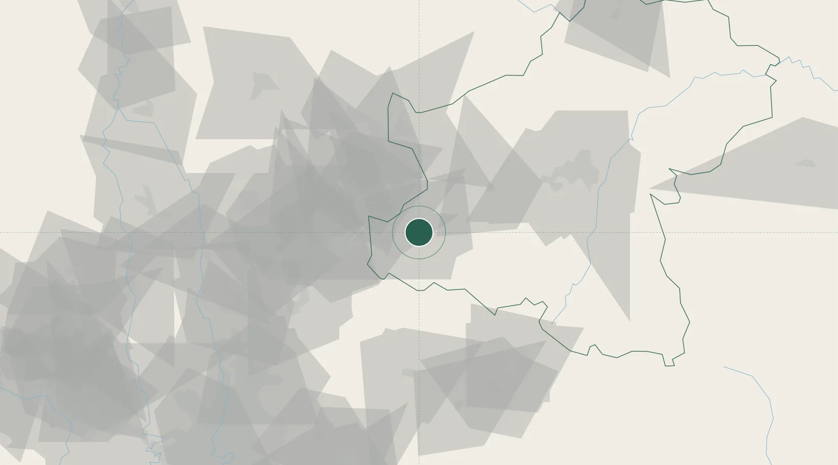
Hub Profile
Place type
Provincial seat
Region
Nakhon Ratchasima
Population
48,999
Time zone
Asia/Bangkok
Elevation
307 m
Location
Nearby Logistics Neighbours
Cities
- 1Lat Krabang127 km
- 2Samut Prakan134 km
- 3Phahon Yothin Customs House137 km
- 4Nonthaburi138 km
- 5Phra Khanong140 km
Ports
- 1Bangkok143 km
- 2Si Racha Terminal177 km
- 3Ko Si Chang Terminal181 km
- 4Siam Seaport182 km
- 5Laem Chabang187 km
Airports
- 1Khok Kathiam Airport84 km
- 2Nakhon Ratchasima Airport101 km
- 3Don Mueang International Airport122 km
- 4Suvarnabhumi Airport133 km
- 5Takhli Royal Thai Air Force Base137 km
DatabookThe Record of Consolidated Knowledge
Thailand beyond logistics?