General Industrial Estate · Thailand

Saha Rattana Nakorn Industrial Estate Active
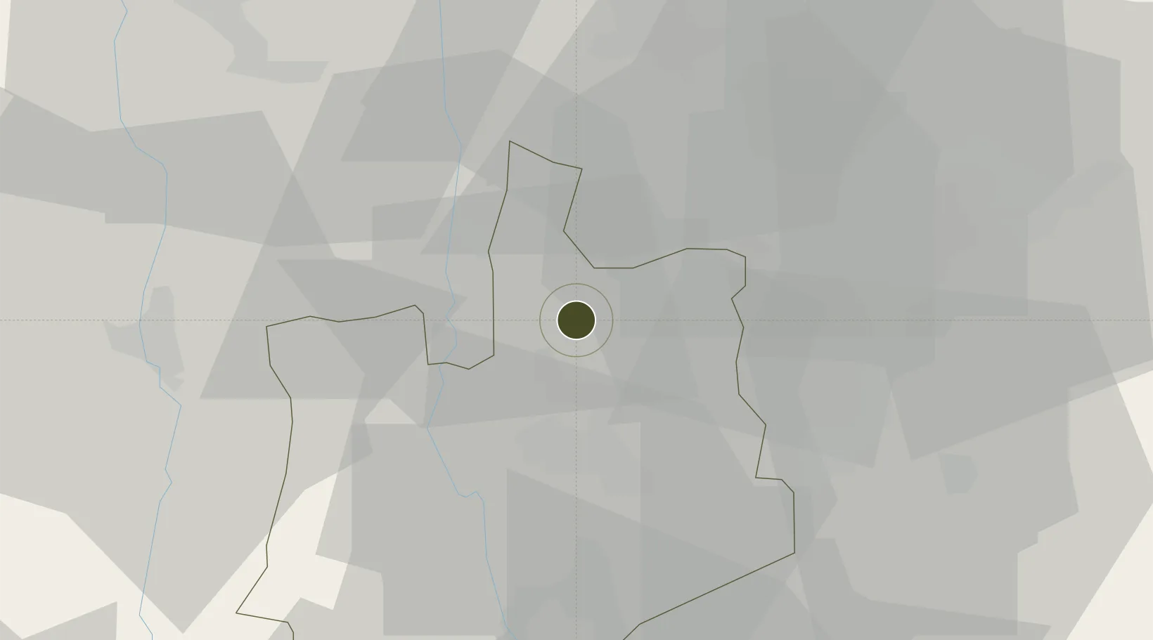
14.4927°, 100.5878°
140 ha
Zone area
83.1 km
Nearest port
43.2 km
Nearest airport

Gateway access

Nearest neighbours — logibook spatial index (haversine) over the source coordinates

Zone profile

Zone type
General Industrial Estate
the World Bank SEZ database
Region
Phra Nakhon Si Ayutthaya
the World Bank SEZ database
Status
Active
the World Bank SEZ database
Established
1994
the World Bank SEZ database
Management
PPP
the World Bank SEZ database
Operator
Industrial Estate Authority of Thailand and Saha Rattana Nakorn Company Limited
the World Bank SEZ database
Regulatory authority
Industrial Estate Authority of Thailand
the World Bank SEZ database
Legal framework
Industrial Estate Authority of Thailand Act
the World Bank SEZ database

Location

Location of THA28
Natural Earth 10m (public domain) · Phra Nakhon Si Ayutthaya · THA28 · 14.49, 100.59GoogleOSMYandex

Fiscal & incentives

Corporate tax
20%
the World Bank SEZ database
Tax relief
No exemption
the World Bank SEZ database
Relief duration
No exemption
the World Bank SEZ database
VAT
No exemption
the World Bank SEZ database
Import duty (inputs)
0% exempt
the World Bank SEZ database
Import duty (capex)
0% exempt
the World Bank SEZ database
Profit repatriation
No exemption
the World Bank SEZ database
Capital gains
No exemption
the World Bank SEZ database
Withholding tax
No exemption
the World Bank SEZ database
Min. investment
None
the World Bank SEZ database
Min. export
0%
the World Bank SEZ database
Employment incentive
No exemption
the World Bank SEZ database
Developer incentive
No established framework
the World Bank SEZ database

Nearby Logistics Neighbours

Ports
  1. 1Bangkok83 km
  2. 2Ko Si Chang Terminal150 km
  3. 3Si Racha Terminal152 km
  4. 4Siam Seaport155 km
  5. 5Laem Chabang160 km
Nearest neighbours — logibook spatial index (haversine) over the source coordinates
Airports
  1. 1Khok Kathiam Airport43 km
  2. 2Don Mueang International Airport65 km
  3. 3Kamphaeng Saen Airport84 km
  4. 4Suvarnabhumi Airport92 km
  5. 5Takhli Royal Thai Air Force Base93 km
Nearest neighbours — logibook spatial index (haversine) over the source coordinates
Cities
  1. 1Nonthaburi74 km
  2. 2Phahon Yothin Customs House77 km
  3. 3Bang Rak85 km
  4. 4Samphanthawong85 km
  5. 5Bangsu87 km
Nearest neighbours — logibook spatial index (haversine) over the source coordinates
Trade Zones
  1. 1Rojana Industrial Park, Ayutthaya21 km
  2. 2Ban Wa (Hi-Tech) Industrial Estate27 km
  3. 3Hemaraj Saraburi Industrial Land (Hemarai Sil)31 km
  4. 4Bang Pa-in Industrial Estate33 km
  5. 5Nong Khae Industrial Estate36 km
Nearest neighbours — logibook spatial index (haversine) over the source coordinates
DatabookThe Record of Consolidated Knowledge
Thailand beyond logistics?
Browse databook

All Sources

Trade Zonesthe World Bank SEZ database
CC BY 4.0
Portsthe NGA World Port Index
Public domain (US gov)
AirportsOurAirports
Public domain
LocationsUN/LOCODE
UN/LOCODE — free
← Thailand trade zones