Medium airport · Thailand
Kamphaeng Saen AirportVTBK
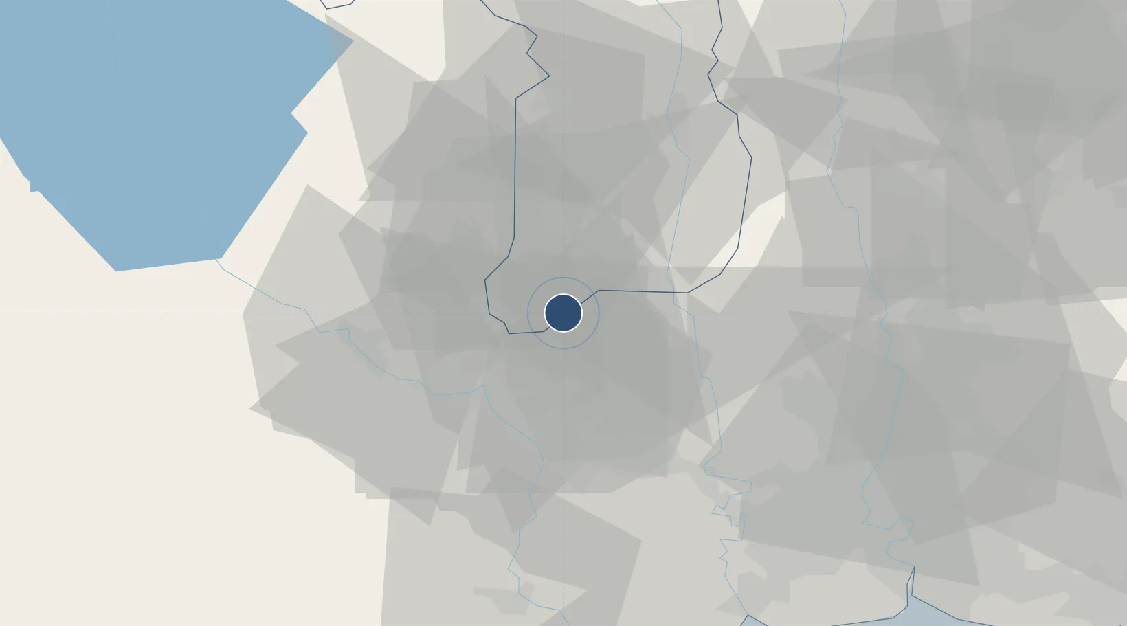
14.1020°, 99.9172°
9,000 ft
Longest runway
1
Runways
30 ft
Elevation
Runway & Layout

Radio Frequencies
TWR
23.75 MHz
GND
25.78 MHz
APP
127.75 MHz
DEP
23.7 MHz
CNTR
128.1 MHz
BANGKOK CON
Navaids
KPS TACAN Kamphaeng Saen 115.10 MHz
KPS VOR-DME Kamphaeng Saen 114.50 MHz
KPS NDB Kamphaeng Saen 251 kHz
Runways · 1
| Runway | Dimensions | Surface | True heading | Lit |
|---|---|---|---|---|
| 03/21 | 9,000 × 148ft | Concrete | 030° | ✓ |
Airport Specifications
IATA code
KDT
ICAO code
VTBK
Airport class
Medium airport
Scheduled service
No
Runway surface
Concrete
Served city
Nakhon Pathom
Location
Nearby Logistics Neighbours
Airports
- 1Don Mueang International Airport77 km
- 2Suvarnabhumi Airport101 km
- 3Khok Kathiam Airport118 km
- 4Takhli Royal Thai Air Force Base137 km
- 5Hua Hin Airport163 km
Cities
- 1Ban Pong34 km
- 2Bangsu47 km
- 3Photharam47 km
- 4Ratchaburi65 km
- 5Samut Sakhon, Changwat67 km
Ports
- 1Bangkok74 km
- 2Ko Si Chang Terminal142 km
- 3Si Racha Terminal150 km
- 4Siam Seaport150 km
- 5Laem Chabang154 km
Trade Zones
DatabookThe Record of Consolidated Knowledge
Thailand beyond logistics?