General Industrial Estate · Thailand

Nong Khae Industrial Estate Inactive
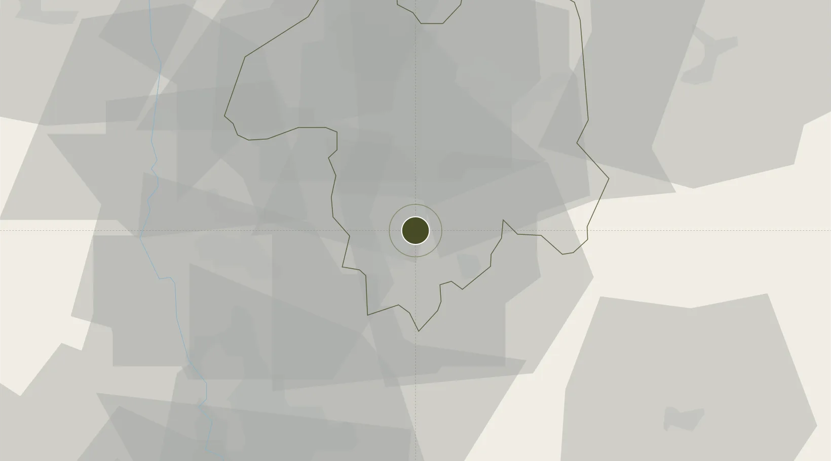
14.3893°, 100.9065°
234 ha
Zone area
83.5 km
Nearest port
60.0 km
Nearest airport

Gateway access

Nearest neighbours — logibook spatial index (haversine) over the source coordinates

Zone profile

Zone type
General Industrial Estate
the World Bank SEZ database
Region
Saraburi
the World Bank SEZ database
Status
Inactive
the World Bank SEZ database
Established
1990
the World Bank SEZ database
Management
PPP
the World Bank SEZ database
Operator
Industrial Estate Authority of Thailand and Thai-German Ceramic Industry Public Company Limited
the World Bank SEZ database
Regulatory authority
Industrial Estate Authority of Thailand
the World Bank SEZ database
Legal framework
Industrial Estate Authority of Thailand Act
the World Bank SEZ database

Location

Location of THA31
Natural Earth 10m (public domain) · Saraburi · THA31 · 14.39, 100.91GoogleOSMYandex

Fiscal & incentives

Corporate tax
20%
the World Bank SEZ database
Tax relief
No exemption
the World Bank SEZ database
Relief duration
No exemption
the World Bank SEZ database
VAT
No exemption
the World Bank SEZ database
Import duty (inputs)
0% exempt
the World Bank SEZ database
Import duty (capex)
0% exempt
the World Bank SEZ database
Profit repatriation
No exemption
the World Bank SEZ database
Capital gains
No exemption
the World Bank SEZ database
Withholding tax
No exemption
the World Bank SEZ database
Min. investment
None
the World Bank SEZ database
Min. export
0%
the World Bank SEZ database
Employment incentive
No exemption
the World Bank SEZ database
Developer incentive
No established framework
the World Bank SEZ database

Nearby Logistics Neighbours

Ports
  1. 1Bangkok84 km
  2. 2Si Racha Terminal136 km
  3. 3Ko Si Chang Terminal136 km
  4. 4Siam Seaport140 km
  5. 5Laem Chabang145 km
Nearest neighbours — logibook spatial index (haversine) over the source coordinates
Airports
  1. 1Khok Kathiam Airport60 km
  2. 2Don Mueang International Airport62 km
  3. 3Suvarnabhumi Airport81 km
  4. 4Kamphaeng Saen Airport111 km
  5. 5Takhli Royal Thai Air Force Base119 km
Nearest neighbours — logibook spatial index (haversine) over the source coordinates
Cities
  1. 1Pak Chong64 km
  2. 2Lat Krabang75 km
  3. 3Nonthaburi77 km
  4. 4Phahon Yothin Customs House77 km
  5. 5Samut Prakan81 km
Nearest neighbours — logibook spatial index (haversine) over the source coordinates
Trade Zones
  1. 1Hemaraj Saraburi Industrial Land (Hemarai Sil)7 km
  2. 2Kaeng Khoi Industrial Estate28 km
  3. 3Rojana Industrial Park, Ayutthaya30 km
  4. 4Saha Rattana Nakorn Industrial Estate36 km
  5. 5Ban Wa (Hi-Tech) Industrial Estate37 km
Nearest neighbours — logibook spatial index (haversine) over the source coordinates
DatabookThe Record of Consolidated Knowledge
Thailand beyond logistics?
Browse databook

All Sources

Trade Zonesthe World Bank SEZ database
CC BY 4.0
Portsthe NGA World Port Index
Public domain (US gov)
AirportsOurAirports
Public domain
LocationsUN/LOCODE
UN/LOCODE — free
← Thailand trade zones