Transport Functions
Rail
Road
Hub Profile
Region
10
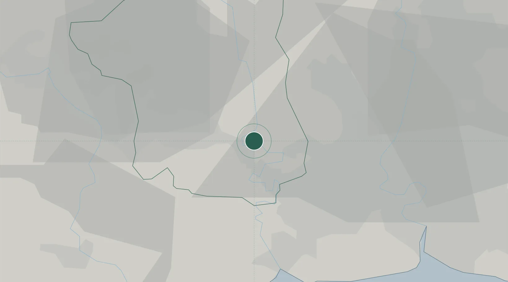
Location
Nearby Logistics Neighbours
Cities
- 1Samut Sakhon, Changwat22 km
- 2Ekachai Container Terminal26 km
- 3Nonthaburi29 km
- 4Samphanthawong32 km
- 5Phahon Yothin Customs House34 km
Ports
- 1Bangkok31 km
- 2Ko Si Chang Terminal96 km
- 3Si Racha Terminal103 km
- 4Siam Seaport103 km
- 5Laem Chabang108 km
Airports
- 1Don Mueang International Airport44 km
- 2Kamphaeng Saen Airport47 km
- 3Suvarnabhumi Airport59 km
- 4Khok Kathiam Airport129 km
- 5Hua Hin Airport133 km
Trade Zones
DatabookThe Record of Consolidated Knowledge
Thailand beyond logistics?