Large airport · Thailand

Don Mueang International AirportVTBD
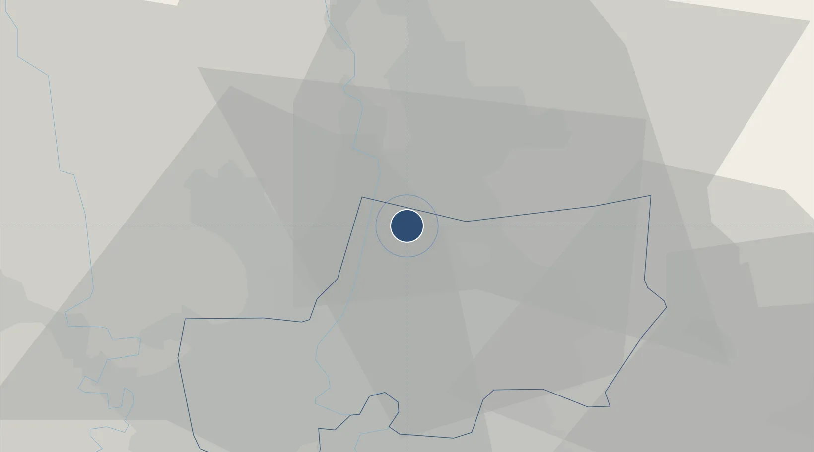
13.9126°, 100.6070°
12,139 ft
Longest runway
2
Runways
9 ft
Elevation

Runway & Layout

Don Mueang International Airport runway & taxiway layout
Runway & taxiway layout — OpenStreetMap (ODbL) / OurAirports

Radio Frequencies

ATIS
126.4 MHz
TWR
118.1 MHz
GND
121.9 MHz
CLD
154.96 MHz
CLNC DEL
APP
119.4 MHz
ARR
125.5 MHz
OurAirports

Navaids

BK NDB Bangkok 293 kHz
BKK VOR-DME Bangkok 117.70 MHz
OurAirports

Runways · 2

RunwayDimensions SurfaceTrue headingLit
03L/21R 12,139 × 197ft Asphalt 029°
03R/21L 11,483 × 148ft Asphalt 029°
OurAirports

Airport Specifications

IATA code
DMK
OurAirports
ICAO code
VTBD
OurAirports
Airport class
Large airport
OurAirports
Scheduled service
Yes
OurAirports
Runway surface
Asphalt
OurAirports
Served city
Bangkok
OurAirports

Location

Location of VTBD
Natural Earth 10m (public domain) · Bangkok Metropolis · VTBD · 13.91, 100.61GoogleOSMYandex

Nearby Logistics Neighbours

Airports
  1. 1Suvarnabhumi Airport30 km
  2. 2Kamphaeng Saen Airport77 km
  3. 3Khok Kathiam Airport107 km
  4. 4U-Tapao–Rayong–Pattaya International Airport144 km
  5. 5Takhli Royal Thai Air Force Base155 km
Nearest neighbours — logibook spatial index (haversine) over the source coordinates
Cities
  1. 1Phahon Yothin Customs House15 km
  2. 2Nonthaburi16 km
  3. 3Bang Rak22 km
  4. 4Samphanthawong23 km
  5. 5Phra Khanong24 km
Nearest neighbours — logibook spatial index (haversine) over the source coordinates
Ports
  1. 1Bangkok22 km
  2. 2Ko Si Chang Terminal86 km
  3. 3Si Racha Terminal89 km
  4. 4Siam Seaport92 km
  5. 5Laem Chabang97 km
Nearest neighbours — logibook spatial index (haversine) over the source coordinates
Trade Zones
  1. 1Bangkadi Industrial Park9 km
  2. 2Banbung Patana Industrial Estate9 km
  3. 3Bangchan Industrial Estate16 km
  4. 4Thailand Science Park19 km
  5. 5Indra Industrial Park21 km
Nearest neighbours — logibook spatial index (haversine) over the source coordinates
DatabookThe Record of Consolidated Knowledge
Thailand beyond logistics?
Browse databook

All Sources

AirportsOurAirports
Public domain
Portsthe NGA World Port Index
Public domain (US gov)
LocationsUN/LOCODE
UN/LOCODE — free
Trade Zonesthe World Bank SEZ database
CC BY 4.0
Trade ZonesOpen Zone Map
CC BY
InfrastructureOpenStreetMap
ODbL 1.0
← Thailand airports