Medium airport · Thailand
Khok Kathiam AirportVTBL
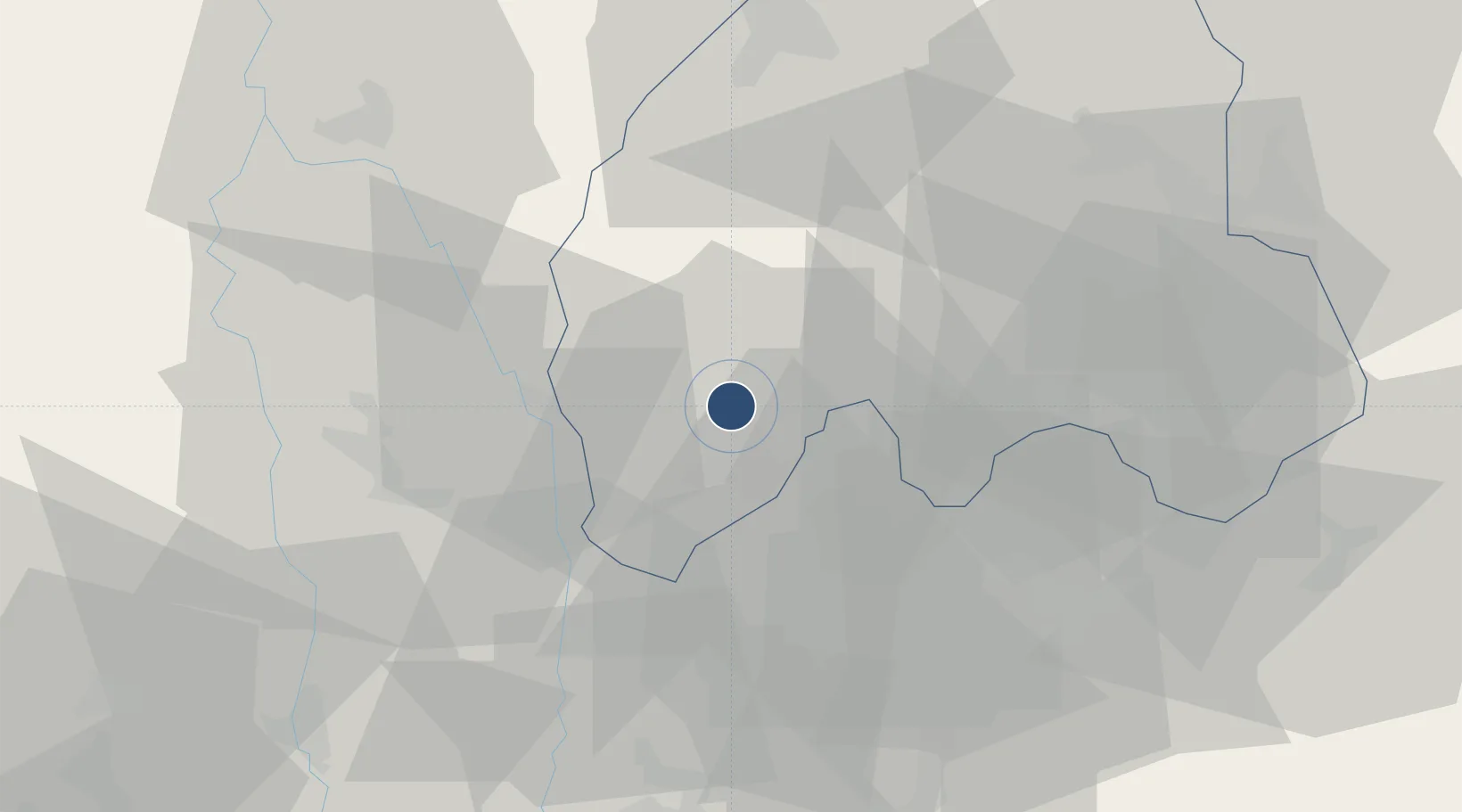
14.8746°, 100.6634°
7,252 ft
Longest runway
3
Runways
123 ft
Elevation
Runway & Layout

Radio Frequencies
TWR
122.6 MHz
GND
121.75 MHz
Navaids
LB NDB Lop Buri 280 kHz
LOB TACAN Lop Buri 116.80 MHz
Runways · 3
| Runway | Dimensions | Surface | True heading | Lit |
|---|---|---|---|---|
| 16/34 | 7,252 × 148ft | Asphalt | 160° | ✓ |
| 05/23 | 4,435 × 148ft | Concrete | 047° | ✓ |
| 10/28 | 600 × 64ft | Asphalt | 096° | — |
Airport Specifications
IATA code
KKM
ICAO code
VTBL
Airport class
Medium airport
Scheduled service
No
Runway surface
Asphalt
Served city
Lop Buri
Location
Nearby Logistics Neighbours
Airports
- 1Takhli Royal Thai Air Force Base60 km
- 2Don Mueang International Airport107 km
- 3Kamphaeng Saen Airport118 km
- 4Suvarnabhumi Airport133 km
- 5Nakhon Ratchasima Airport177 km
Cities
- 1Pak Chong84 km
- 2Nakhon Sawan107 km
- 3Nonthaburi117 km
- 4Phahon Yothin Customs House120 km
- 5Bang Rak128 km
Ports
- 1Bangkok126 km
- 2Ko Si Chang Terminal191 km
- 3Si Racha Terminal192 km
- 4Siam Seaport195 km
- 5Laem Chabang201 km
DatabookThe Record of Consolidated Knowledge
Thailand beyond logistics?