Transport Functions
Rail
Road
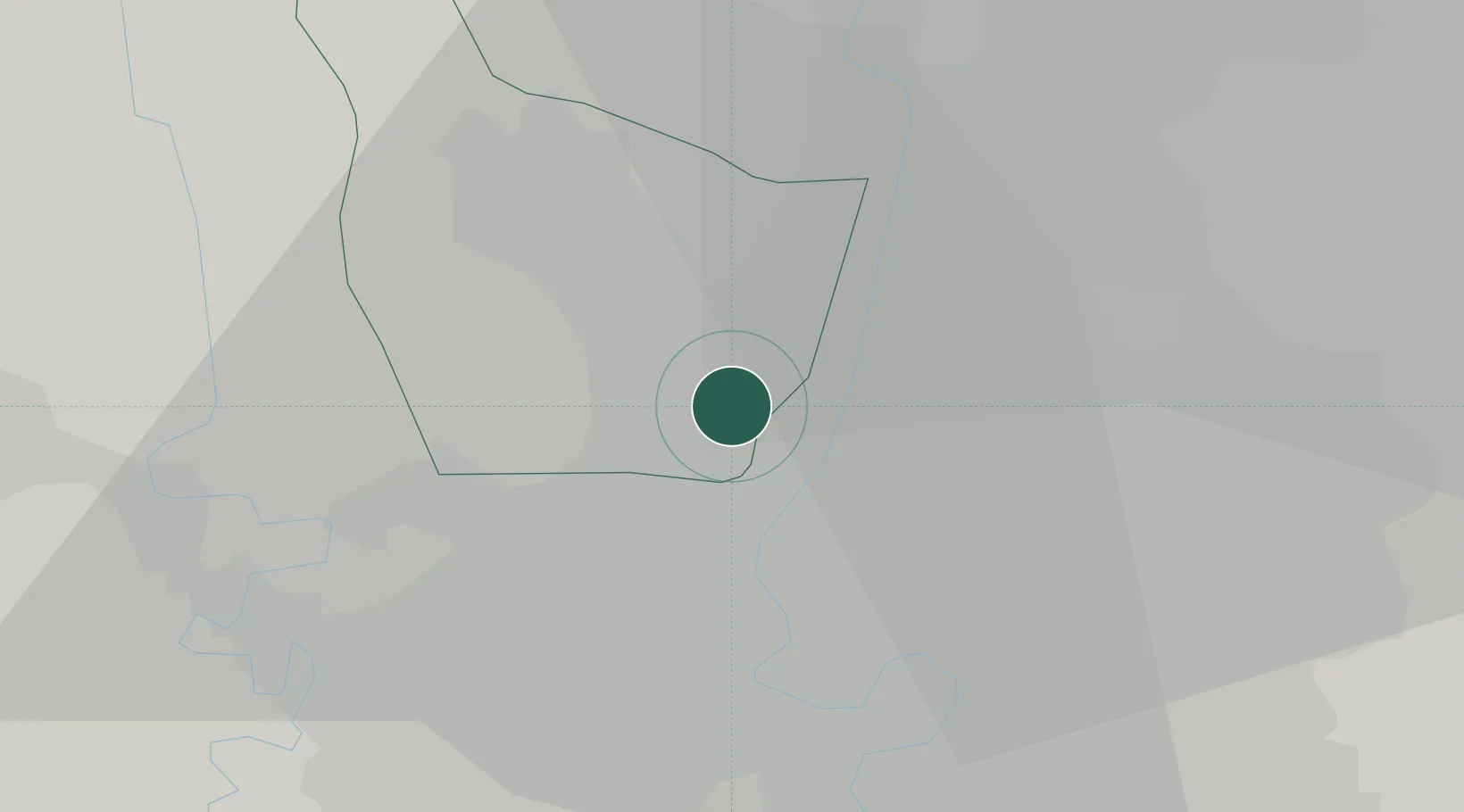
Hub Profile
Region
12
Location
Nearby Logistics Neighbours
Cities
- 1Phahon Yothin Customs House7 km
- 2Samphanthawong11 km
- 3Bang Rak12 km
- 4Phra Khanong20 km
- 5Sahathai Coastal Seaport21 km
Ports
- 1Bangkok9 km
- 2Ko Si Chang Terminal82 km
- 3Si Racha Terminal88 km
- 4Siam Seaport89 km
- 5Laem Chabang94 km
Airports
Trade Zones
DatabookThe Record of Consolidated Knowledge
Thailand beyond logistics?