Medium airport · India

Moradabad AirportVIMB

28.8175°, 78.9219°
637 ft
Elevation

Runway & Layout

Moradabad Airport runway & taxiway layout
Runway & taxiway layout — OpenStreetMap (ODbL) / OurAirports

Airport Specifications

IATA code
MZS
OurAirports
ICAO code
VIMB
OurAirports
Airport class
Medium airport
OurAirports
Scheduled service
Yes
OurAirports
Served city
Moradabad
OurAirports

Location

Location of VIMB
Natural Earth 10m (public domain) · Uttar Pradesh · VIMB · 28.82, 78.92GoogleOSMYandex

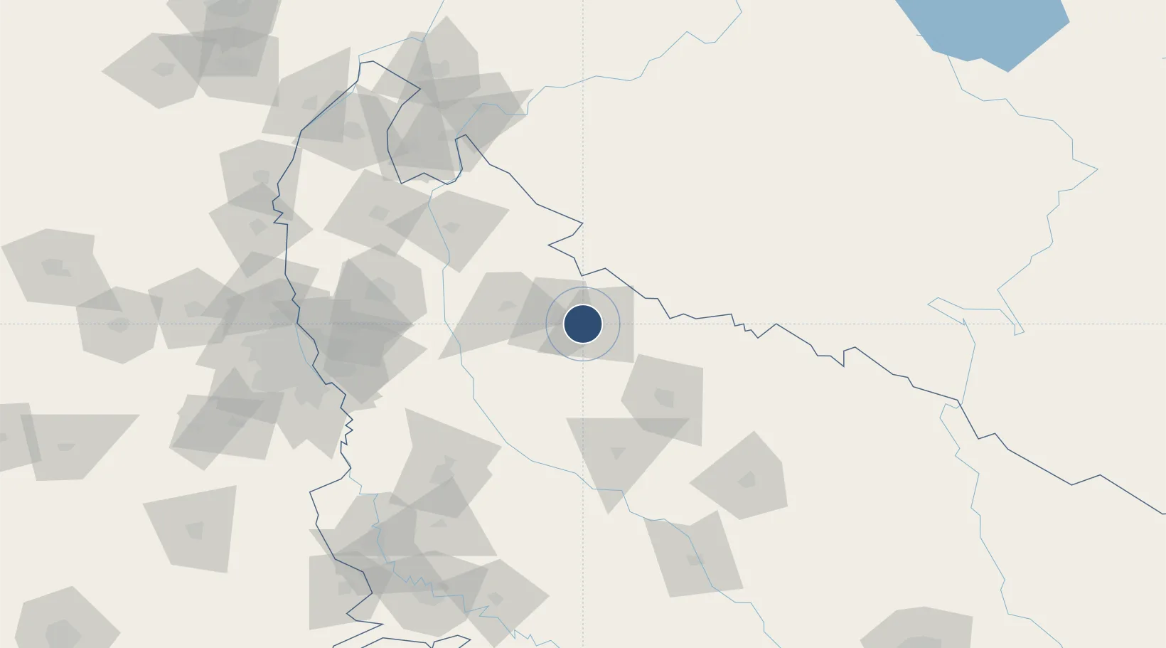
Nearby Logistics Neighbours

Airports
  1. 1Pantnagar Airport59 km
  2. 2Bareilly Air Force Station68 km
  3. 3Aligarh Airport131 km
  4. 4Noida International Airport146 km
  5. 5Hindon Airport / Hindon Air Force Station153 km
Nearest neighbours — logibook spatial index (haversine) over the source coordinates
Cities
  1. 1Moradabad15 km
  2. 2Bilari25 km
  3. 3Sandkhera ICD/Kashipur43 km
  4. 4Rudrapur53 km
  5. 5Sidcul Icd/Pantnagar63 km
Nearest neighbours — logibook spatial index (haversine) over the source coordinates
Ports
  1. 1Dahej1019 km
  2. 2Bhavnagar1032 km
  3. 3Magdalla1055 km
  4. 4Hazira1068 km
  5. 5Navlakhi1069 km
Nearest neighbours — logibook spatial index (haversine) over the source coordinates
Trade Zones
  1. 1Moradabad Special Economic Zone23 km
  2. 2Moser Baer SEZ, Greater Noida146 km
  3. 3Vedanta Aluminium Limited146 km
  4. 4Noida Special Economic Zone152 km
  5. 5Anant Raj Industries, IT Park Rai152 km
Nearest neighbours — logibook spatial index (haversine) over the source coordinates
DatabookThe Record of Consolidated Knowledge
India beyond logistics?
Browse databook

All Sources

AirportsOurAirports
Public domain
Portsthe NGA World Port Index
Public domain (US gov)
LocationsUN/LOCODE
UN/LOCODE — free
Trade Zonesthe World Bank SEZ database
CC BY 4.0
Trade ZonesOpen Zone Map
CC BY
InfrastructureOpenStreetMap
ODbL 1.0
← India airports