Specialized Zone · India

Goldsouk International Specialized Zone (Gems) & Jewellery SEZ Pvt. Ltd. Active

28.4504°, 77.0790°
16 ha
Zone area
879.0 km
Nearest port
11.8 km
Nearest airport

Gateway access

Nearest neighbours — logibook spatial index (haversine) over the source coordinates

Zone profile

Zone type
Specialized Zone
Open Zone Map
Specialization
IT
Open Zone Map
Region
Haryana
Open Zone Map
Status
Active
Open Zone Map
Management
Private
Open Zone Map
Operator
TheAGS Gropu
Open Zone Map
Legal framework
Haryana Special Economic Zone Act, 2005
Open Zone Map

Location

Location of ozm-2232
Natural Earth 10m (public domain) · Haryana · ozm-2232 · 28.45, 77.08GoogleOSMYandex

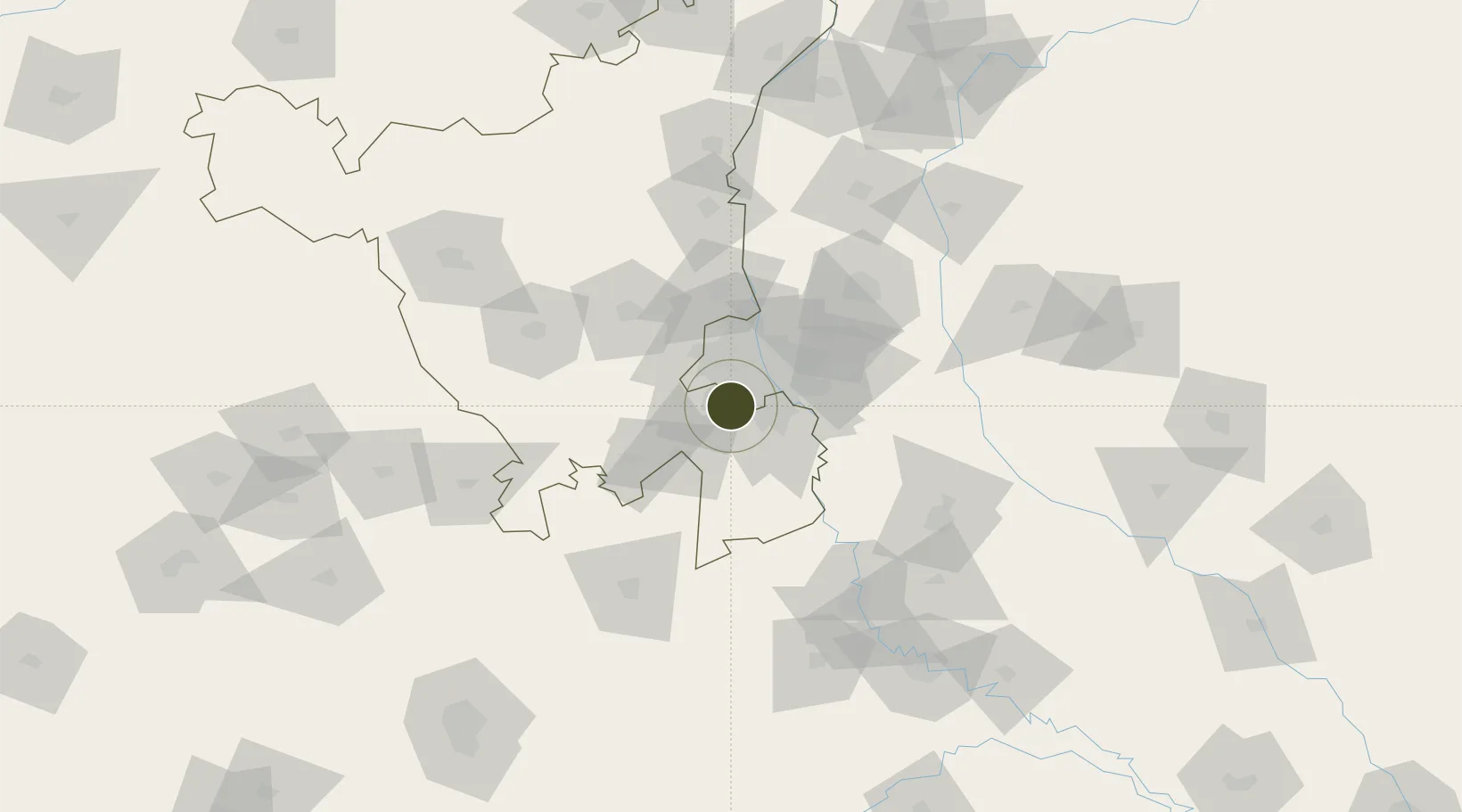
Nearby Logistics Neighbours

Ports
  1. 1Dahej879 km
  2. 2Bhavnagar889 km
  3. 3Navlakhi902 km
  4. 4Kandla914 km
  5. 5Magdalla922 km
Nearest neighbours — logibook spatial index (haversine) over the source coordinates
Airports
  1. 1Indira Gandhi International Airport12 km
  2. 2Safdarjung Airport19 km
  3. 3Hindon Airport / Hindon Air Force Station40 km
  4. 4Noida International Airport60 km
  5. 5Aligarh Airport123 km
Nearest neighbours — logibook spatial index (haversine) over the source coordinates
Cities
  1. 1Gopalpur13 km
  2. 2GPRPL SEZ/Gurgaon15 km
  3. 3Gurgaon15 km
  4. 4Patli16 km
  5. 5Dashrath Puri17 km
Nearest neighbours — logibook spatial index (haversine) over the source coordinates
Trade Zones
  1. 1M S. Bharatiya International SEZ Ltd1 km
  2. 2DLF Cyber City, Gurgaon5 km
  3. 3Lanco Solar Pvt.Ltd6 km
  4. 4G.P.Realtors Private Limited6 km
  5. 5M s. Orient Craft Infrastructure Limited6 km
Nearest neighbours — logibook spatial index (haversine) over the source coordinates
DatabookThe Record of Consolidated Knowledge
India beyond logistics?
Browse databook

All Sources

Trade ZonesOpen Zone Map
CC BY
Portsthe NGA World Port Index
Public domain (US gov)
AirportsOurAirports
Public domain
LocationsUN/LOCODE
UN/LOCODE — free
← India trade zones