Transport Functions
Multimodal
Hub Profile
Place type
Populated place
Region
Khulna Division
Time zone
Asia/Dhaka
Elevation
12 m
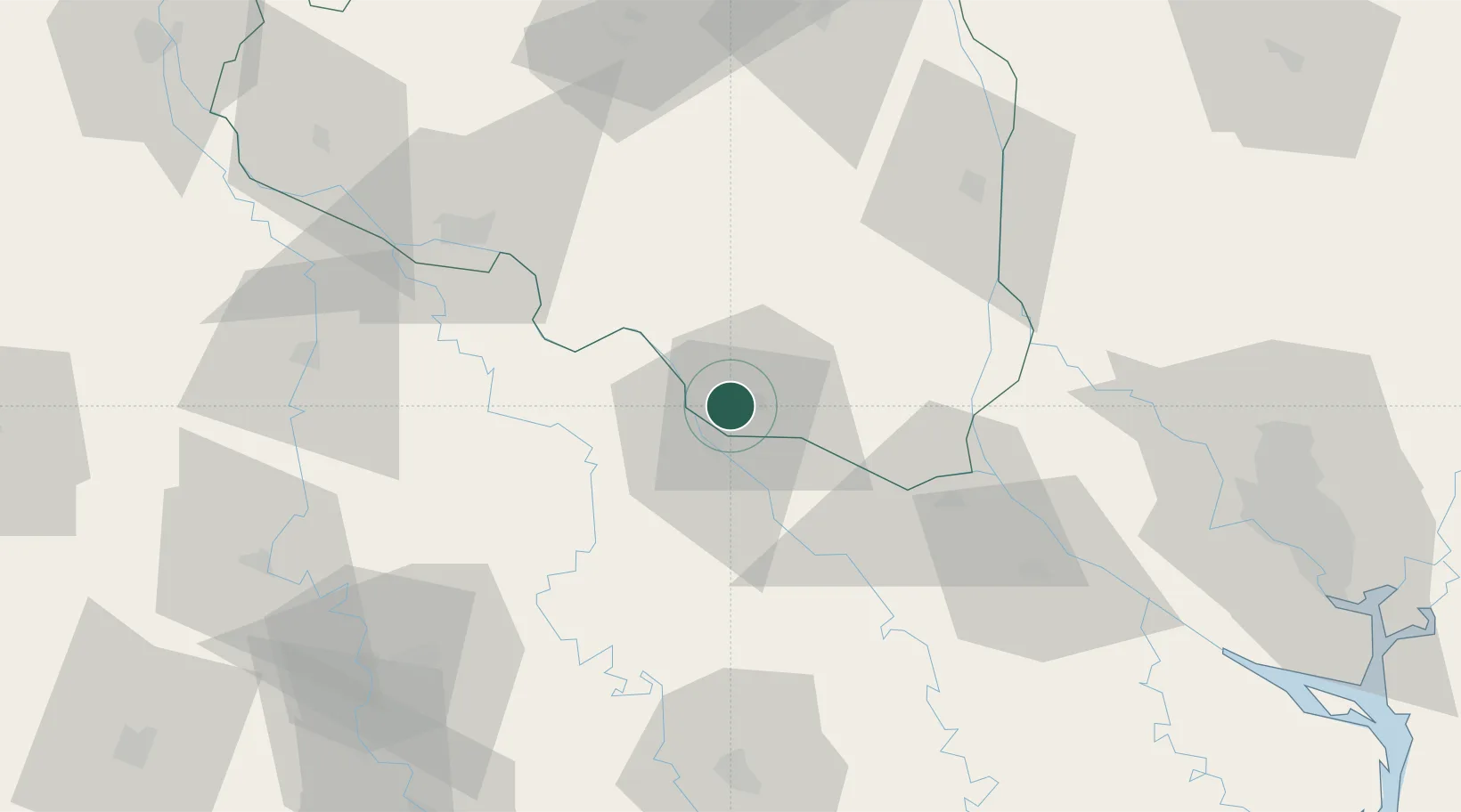
Location
Nearby Logistics Neighbours
Ports
- 1Mongla176 km
- 2Calcutta182 km
- 3Haldia Port247 km
- 4Chittagong329 km
- 5Dhamra420 km
Airports
Trade Zones
DatabookThe Record of Consolidated Knowledge
Bangladesh beyond logistics?