Large airport · India
Bir Tikendrajit International AirportVEIM
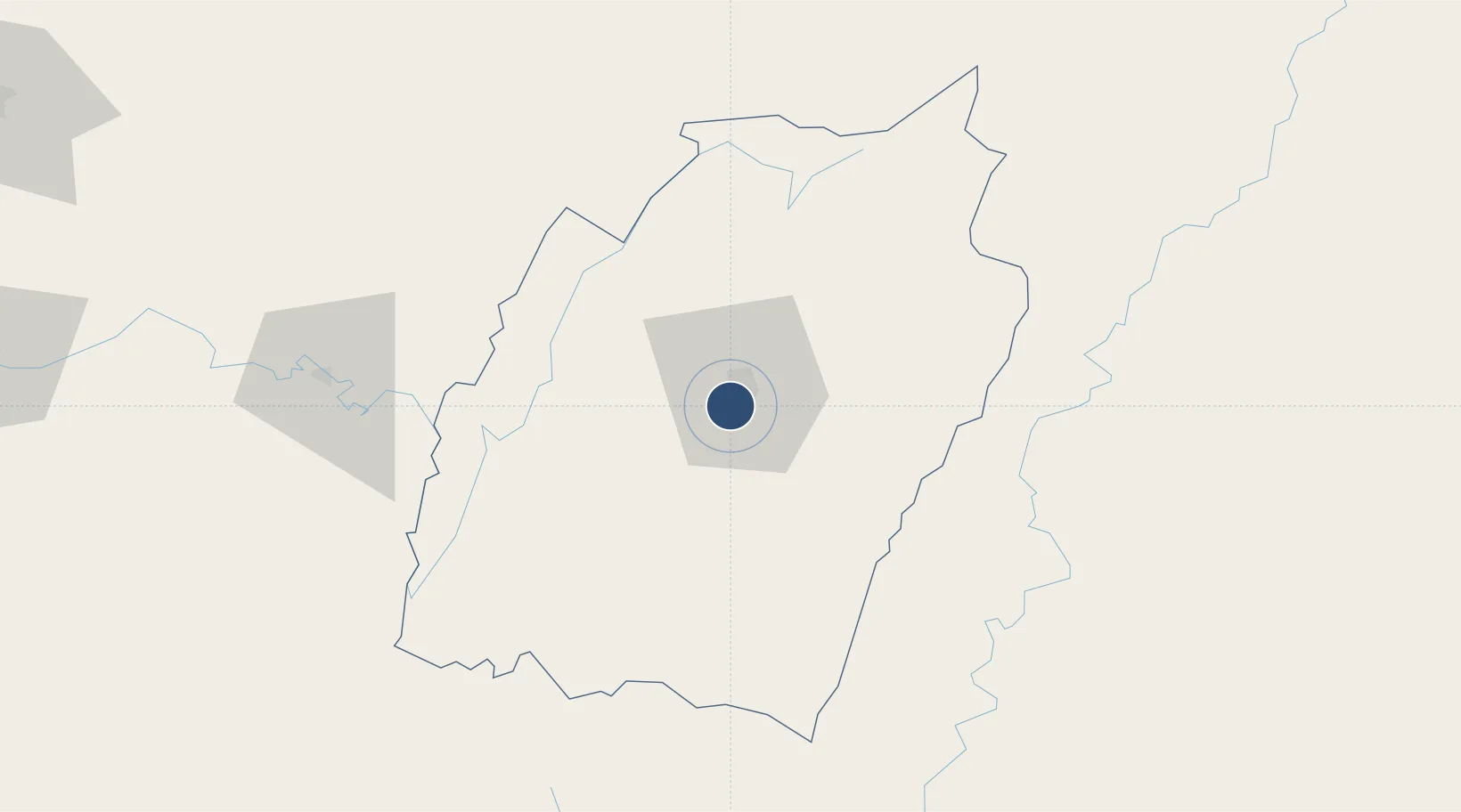
24.7600°, 93.8967°
9,009 ft
Longest runway
1
Runways
2,540 ft
Elevation
Runway & Layout

Radio Frequencies
TWR
123.5 MHz
Navaids
IIM VOR-DME Imphal 115.90 MHz
IM NDB Imphal 289 kHz
Runways · 1
| Runway | Dimensions | Surface | True heading | Lit |
|---|---|---|---|---|
| 04/22 | 9,009 × 148ft | Asphalt | 035° | ✓ |
Airport Specifications
IATA code
IMF
ICAO code
VEIM
Airport class
Large airport
Scheduled service
Yes
Runway surface
Asphalt
Served city
Imphal
Location
Nearby Logistics Neighbours
Airports
- 1Silchar Airport94 km
- 2Dimapur Airport126 km
- 3Lengpui Airport165 km
- 4Kailashahar Airport198 km
- 5Osmany International Airport206 km
Cities
- 1Moulvi Bazar216 km
- 2Jomotshangkha249 km
- 3Amingaon (Gauhati)273 km
- 4Ashuganj303 km
- 5Phuntsho Raptenling327 km
Ports
- 1Chittagong345 km
- 2Mongla507 km
- 3Sittwe525 km
- 4Calcutta618 km
- 5Haldia Port667 km
Trade Zones
- 1Sylhet Special Economic Zone203 km
- 2Shreehatta Srihatta Economic Zone226 km
- 3Habiganj Economic Zone255 km
- 4Alutila Special Tourism Zone280 km
- 5Ashuganj Economic Zone306 km
DatabookThe Record of Consolidated Knowledge
India beyond logistics?