Medium airport · India
Silchar AirportVEKU
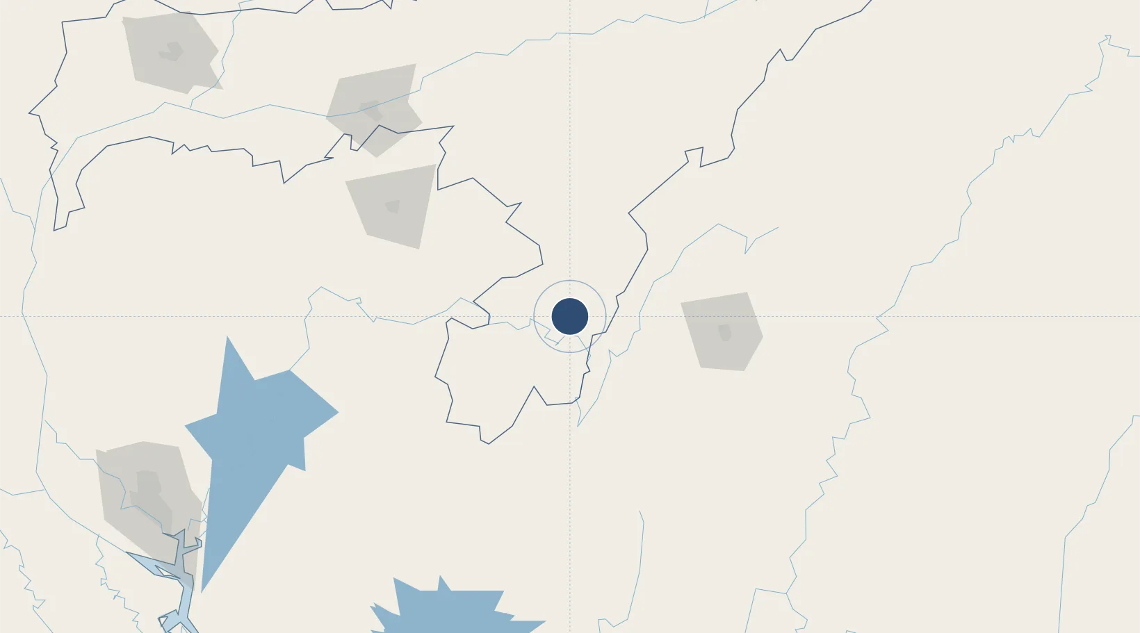
24.9129°, 92.9787°
5,993 ft
Longest runway
1
Runways
352 ft
Elevation
Runway & Layout

Radio Frequencies
TWR
123.5 MHz
APP
122.7 MHz
RDO
349.7 MHz
Navaids
KKU VOR-DME Silchar 115.70 MHz
KU NDB Silchar 351 kHz
Runways · 1
| Runway | Dimensions | Surface | True heading | Lit |
|---|---|---|---|---|
| 06/24 | 5,993 × 148ft | Asphalt | 057° | ✓ |
Airport Specifications
IATA code
IXS
ICAO code
VEKU
Airport class
Medium airport
Scheduled service
Yes
Runway surface
Asphalt
Served city
Silchar
Location
Nearby Logistics Neighbours
Airports
- 1Bir Tikendrajit International Airport94 km
- 2Osmany International Airport112 km
- 3Kailashahar Airport119 km
- 4Lengpui Airport125 km
- 5Shillong Airport134 km
Cities
- 1Moulvi Bazar130 km
- 2Amingaon (Gauhati)192 km
- 3Jomotshangkha219 km
- 4Ashuganj221 km
- 5Phuntsho Raptenling253 km
Ports
- 1Chittagong312 km
- 2Mongla439 km
- 3Sittwe532 km
- 4Calcutta541 km
- 5Haldia Port594 km
Trade Zones
- 1Sylhet Special Economic Zone110 km
- 2Shreehatta Srihatta Economic Zone136 km
- 3Habiganj Economic Zone169 km
- 4Ashuganj Economic Zone225 km
- 5Netrakona Economic Zone - 1228 km
DatabookThe Record of Consolidated Knowledge
India beyond logistics?