Transport Functions
Rail
Road
Airport
Multimodal
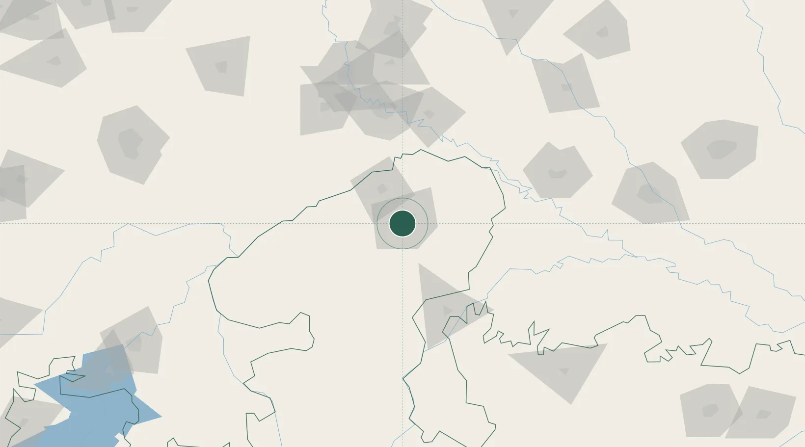
Hub Profile
Place type
Populated place
Region
Madhya Pradesh
Population
1,054,420
Time zone
Asia/Kolkata
Elevation
220 m
Location
Nearby Logistics Neighbours
Cities
- 1Malanpur21 km
- 2Agra109 km
- 3Hindaun ICD/Karauli119 km
- 4Bargawan128 km
- 5Klppl-ICD/Panki206 km
Airports
- 1Gwalior Airport11 km
- 2Agra Airport / Agra Air Force Station107 km
- 3Aligarh Airport183 km
- 4Kanpur Airport225 km
- 5Noida International Airport225 km
Trade Zones
DatabookThe Record of Consolidated Knowledge
India beyond logistics?