Medium airport · India

Jabalpur AirportVAJB
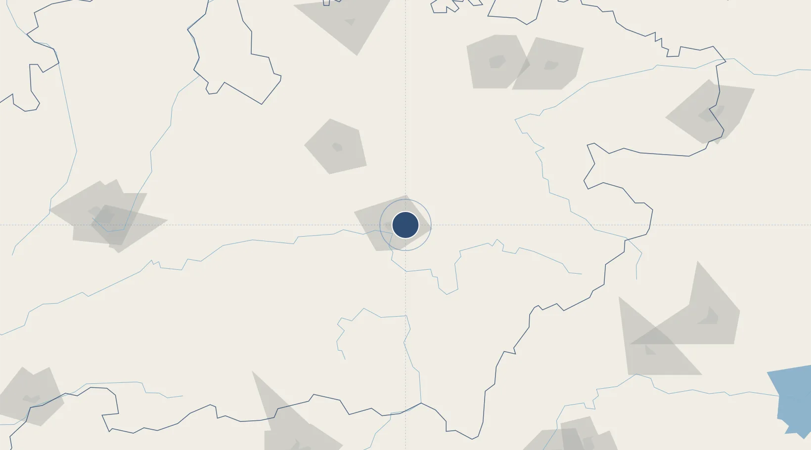
23.1778°, 80.0520°
6,522 ft
Longest runway
1
Runways
1,624 ft
Elevation

Runway & Layout

Jabalpur Airport runway & taxiway layout
Runway & taxiway layout — OpenStreetMap (ODbL) / OurAirports

Radio Frequencies

TWR
122.3 MHz
OurAirports

Navaids

JB NDB Jabalpur 301 kHz
JJB VOR-DME Jabalpur 113.60 MHz
OurAirports

Runways · 1

RunwayDimensions SurfaceTrue headingLit
06/24 6,522 × 150ft Asphalt 058°
OurAirports

Airport Specifications

IATA code
JLR
OurAirports
ICAO code
VAJB
OurAirports
Airport class
Medium airport
OurAirports
Scheduled service
Yes
OurAirports
Runway surface
Asphalt
OurAirports
Served city
Jabalpur
OurAirports

Location

Location of VAJB
Natural Earth 10m (public domain) · Madhya Pradesh · VAJB · 23.18, 80.05GoogleOSMYandex

Nearby Logistics Neighbours

Airports
  1. 1Khajuraho Airport183 km
  2. 2Gondia Airport185 km
  3. 3Rewa Airport, Chorhata, REWA189 km
  4. 4Bilaspur Airport249 km
  5. 5Dr. Babasaheb Ambedkar International Airport254 km
Nearest neighbours — logibook spatial index (haversine) over the source coordinates
Cities
  1. 1Ramtek211 km
  2. 2Concor Icd/Nayaraipur239 km
  3. 3LSPL SEZ/Rajnandgaon244 km
  4. 4MADCL SEZ/Nagpur246 km
  5. 5Butibori ICD/Nagpur246 km
Nearest neighbours — logibook spatial index (haversine) over the source coordinates
Ports
  1. 1Gopalpur667 km
  2. 2Vishakhapatnam698 km
  3. 3Gangavaram701 km
  4. 4Kakinada Bay727 km
  5. 5Paradip758 km
Nearest neighbours — logibook spatial index (haversine) over the source coordinates
Trade Zones
  1. 1M s. Lanco Solar Private Limited241 km
  2. 2Mihan Special Economic Zone259 km
  3. 3UP Electronics Corporation Limited418 km
  4. 4Vedanta Aluminium Limited518 km
  5. 5Bhairahawa Special Economic Zone590 km
Nearest neighbours — logibook spatial index (haversine) over the source coordinates
DatabookThe Record of Consolidated Knowledge
India beyond logistics?
Browse databook

All Sources

AirportsOurAirports
Public domain
Portsthe NGA World Port Index
Public domain (US gov)
LocationsUN/LOCODE
UN/LOCODE — free
Trade Zonesthe World Bank SEZ database
CC BY 4.0
Trade ZonesOpen Zone Map
CC BY
InfrastructureOpenStreetMap
ODbL 1.0
← India airports