Specialized Zone · India

M s. Lanco Solar Private Limited Active
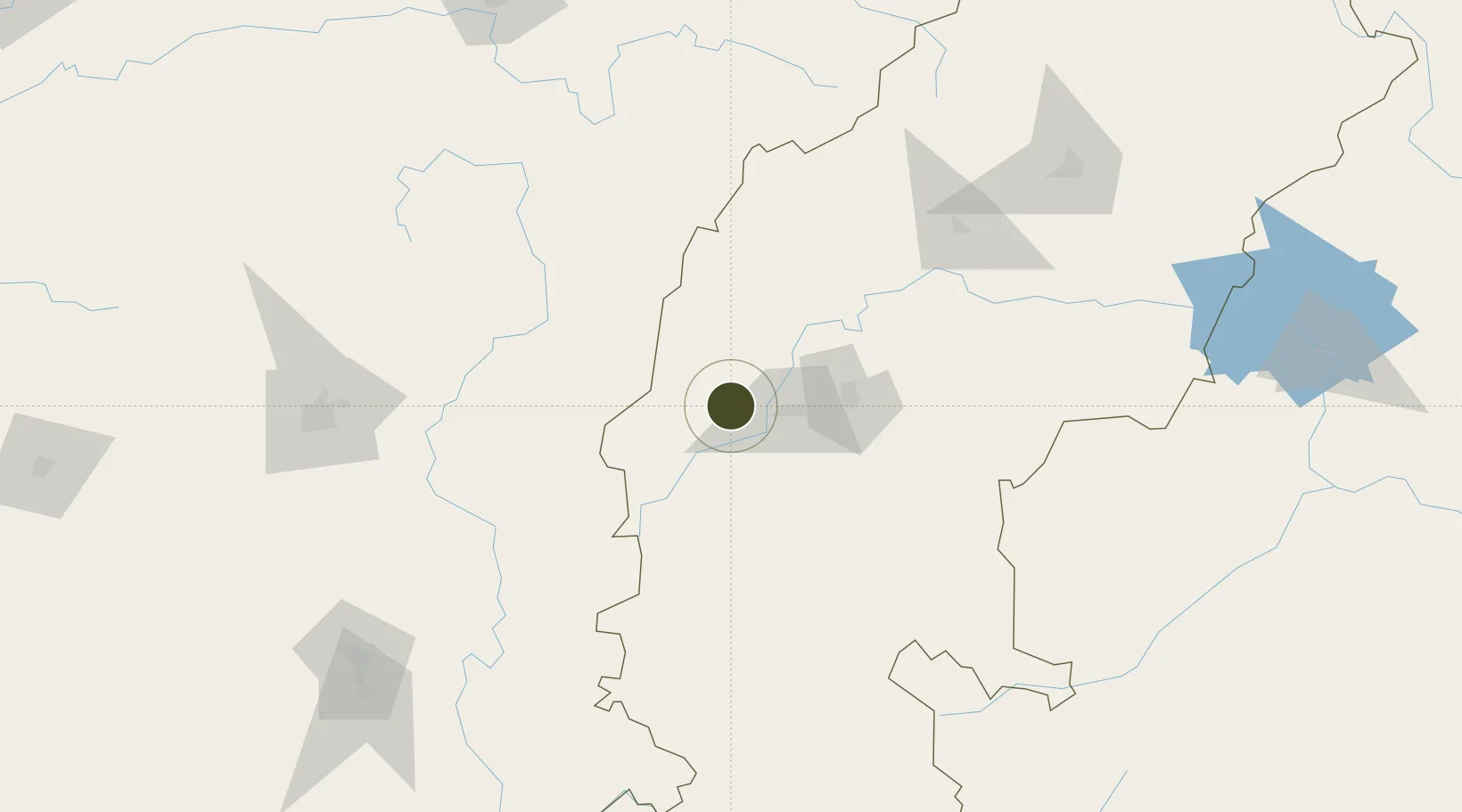
21.2275°, 81.0625°
101 ha
Zone area
458.6 km
Nearest port
70.3 km
Nearest airport

Gateway access

Nearest neighbours — logibook spatial index (haversine) over the source coordinates

Zone profile

Zone type
Specialized Zone
Open Zone Map
Specialization
Energy
Open Zone Map
Region
Chhattisgarh
Open Zone Map
Status
Active
Open Zone Map
Management
Private
Open Zone Map
Operator
Lanco Solar Pvt. Ltd.
Open Zone Map
Legal framework
LoA No. 26(D) /84/2012-SSSEZ(VSEZ) dated 01.05.2012
Open Zone Map

Location

Location of ozm-2187
Natural Earth 10m (public domain) · Chhattisgarh · ozm-2187 · 21.23, 81.06GoogleOSMYandex

Nearby Logistics Neighbours

Ports
  1. 1Vishakhapatnam459 km
  2. 2Gopalpur460 km
  3. 3Gangavaram461 km
  4. 4Kakinada Bay488 km
  5. 5Paradip594 km
Nearest neighbours — logibook spatial index (haversine) over the source coordinates
Airports
  1. 1Swami Vivekananda Airport70 km
  2. 2Gondia Airport87 km
  3. 3Bilaspur Airport138 km
  4. 4Dr. Babasaheb Ambedkar International Airport210 km
  5. 5Jabalpur Airport241 km
Nearest neighbours — logibook spatial index (haversine) over the source coordinates
Cities
  1. 1Concor Icd/Nayaraipur7 km
  2. 2LSPL SEZ/Rajnandgaon9 km
  3. 3Bhilai39 km
  4. 4Raipur77 km
  5. 5Ramtek180 km
Nearest neighbours — logibook spatial index (haversine) over the source coordinates
Trade Zones
  1. 1Mihan Special Economic Zone211 km
  2. 2Vedanta Aluminium Limited296 km
  3. 3Divi’s Laboratories Limited445 km
  4. 4M S. Apiic Ltd., Naidupeta448 km
  5. 5Visakhapatnam Special Economic Zone449 km
Nearest neighbours — logibook spatial index (haversine) over the source coordinates
DatabookThe Record of Consolidated Knowledge
India beyond logistics?
Browse databook

All Sources

Trade ZonesOpen Zone Map
CC BY
Portsthe NGA World Port Index
Public domain (US gov)
AirportsOurAirports
Public domain
LocationsUN/LOCODE
UN/LOCODE — free
← India trade zones