Transport Functions
Port
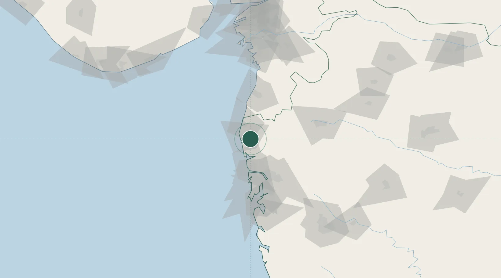
Hub Profile
Place type
Populated place
Region
Maharashtra
Population
7,493
Time zone
Asia/Kolkata
Elevation
7 m
Logistics facilities
2
Location
Nearby Logistics Neighbours
Cities
- 1Bhayandar53 km
- 2Eon SEZ/Kharadi64 km
- 3Shahapur66 km
- 4IGGSL SEZ/Thane66 km
- 5SPPL SEZ/Thane66 km
Ports
- 1Mumbai (Bombay)90 km
- 2Jawaharlal Nehru Port (Nhava Shiva)93 km
- 3Hazira147 km
- 4Magdalla153 km
- 5Pipavav Bandar185 km
Airports
DatabookThe Record of Consolidated Knowledge
India beyond logistics?