Large airport · India

Navi Mumbai International AirportIN-0276
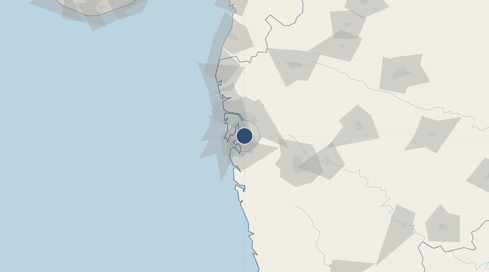
18.9846°, 73.0653°
12,139 ft
Longest runway
2
Runways
184 ft
Elevation

Runway & Layout

Navi Mumbai International Airport runway & taxiway layout
Runway & taxiway layout — OpenStreetMap (ODbL) / OurAirports

Runways · 2

RunwayDimensions SurfaceTrue headingLit
08L/26R 12,139 × 197ft Asphalt
08R/26L 12,139 × 197ft Asphalt
OurAirports

Airport Specifications

IATA code
NMI
OurAirports
ICAO code
VANM
OurAirports
Airport class
Large airport
OurAirports
Scheduled service
Yes
OurAirports
Runway surface
Asphalt
OurAirports
Served city
Navi Mumbai
OurAirports

Location

Location of IN-0276
Natural Earth 10m (public domain) · Maharashtra · IN-0276 · 18.98, 73.07GoogleOSMYandex

Nearby Logistics Neighbours

Airports
  1. 1Chhatrapati Shivaji Maharaj International Airport24 km
  2. 2Pune International Airport101 km
  3. 3Nashik International Airport154 km
  4. 4Shirdi International Airport158 km
  5. 5Daman Airport163 km
Nearest neighbours — logibook spatial index (haversine) over the source coordinates
Cities
  1. 1Nhave3 km
  2. 2SVRL SEZ/Raigad4 km
  3. 3Arshiya International Ltd.-SEZ/Panvel4 km
  4. 4Navi Mumbai6 km
  5. 5Kalamboli7 km
Nearest neighbours — logibook spatial index (haversine) over the source coordinates
Ports
  1. 1Jawaharlal Nehru Port (Nhava Shiva)13 km
  2. 2Mumbai (Bombay)21 km
  3. 3Port Dabhol156 km
  4. 4Jaigarh Bay188 km
  5. 5Ratnagiri224 km
Nearest neighbours — logibook spatial index (haversine) over the source coordinates
Trade Zones
  1. 1Serene Properties Pvt. Ltd21 km
  2. 2Meditab Specialities Private Limited22 km
  3. 3Hiranandani Business Park22 km
  4. 4Wockhardt Infrastructure Development Ltd.23 km
  5. 5Lodha Dwellers Pvt. Ltd.25 km
Nearest neighbours — logibook spatial index (haversine) over the source coordinates
DatabookThe Record of Consolidated Knowledge
India beyond logistics?
Browse databook

All Sources

AirportsOurAirports
Public domain
Portsthe NGA World Port Index
Public domain (US gov)
LocationsUN/LOCODE
UN/LOCODE — free
Trade Zonesthe World Bank SEZ database
CC BY 4.0
Trade ZonesOpen Zone Map
CC BY
InfrastructureOpenStreetMap
ODbL 1.0
← India airports