Transport Functions
Rail
Road
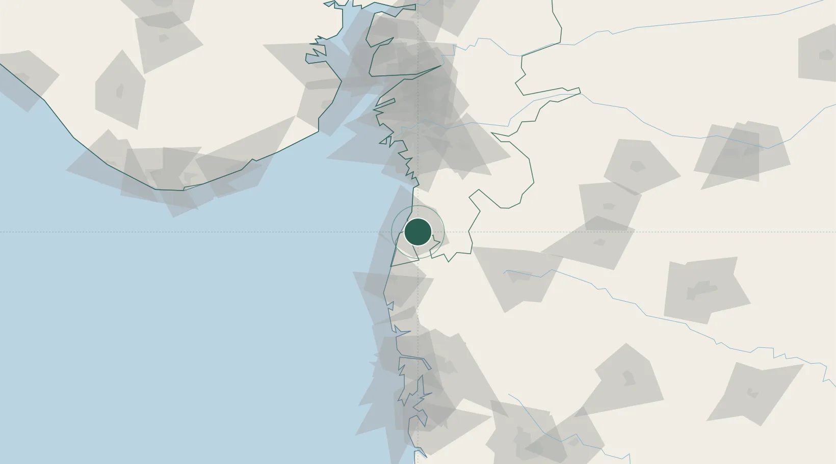
Hub Profile
Place type
Populated place
Region
Gujarat
Population
163,630
Time zone
Asia/Kolkata
Elevation
30 m
Logistics facilities
1
Location
Nearby Logistics Neighbours
Cities
- 1NAVKAR ICD/Umbergaon28 km
- 2Tarapur67 km
- 3Sachin (Surat)81 km
- 4Gandhar86 km
- 5SHB ICD/Surat89 km
Ports
- 1Hazira86 km
- 2Magdalla90 km
- 3Dahej155 km
- 4Mumbai (Bombay)155 km
- 5Jawaharlal Nehru Port (Nhava Shiva)157 km
Airports
Trade Zones
DatabookThe Record of Consolidated Knowledge
India beyond logistics?