Large airport · Tajikistan

Dushanbe International AirportUTDD
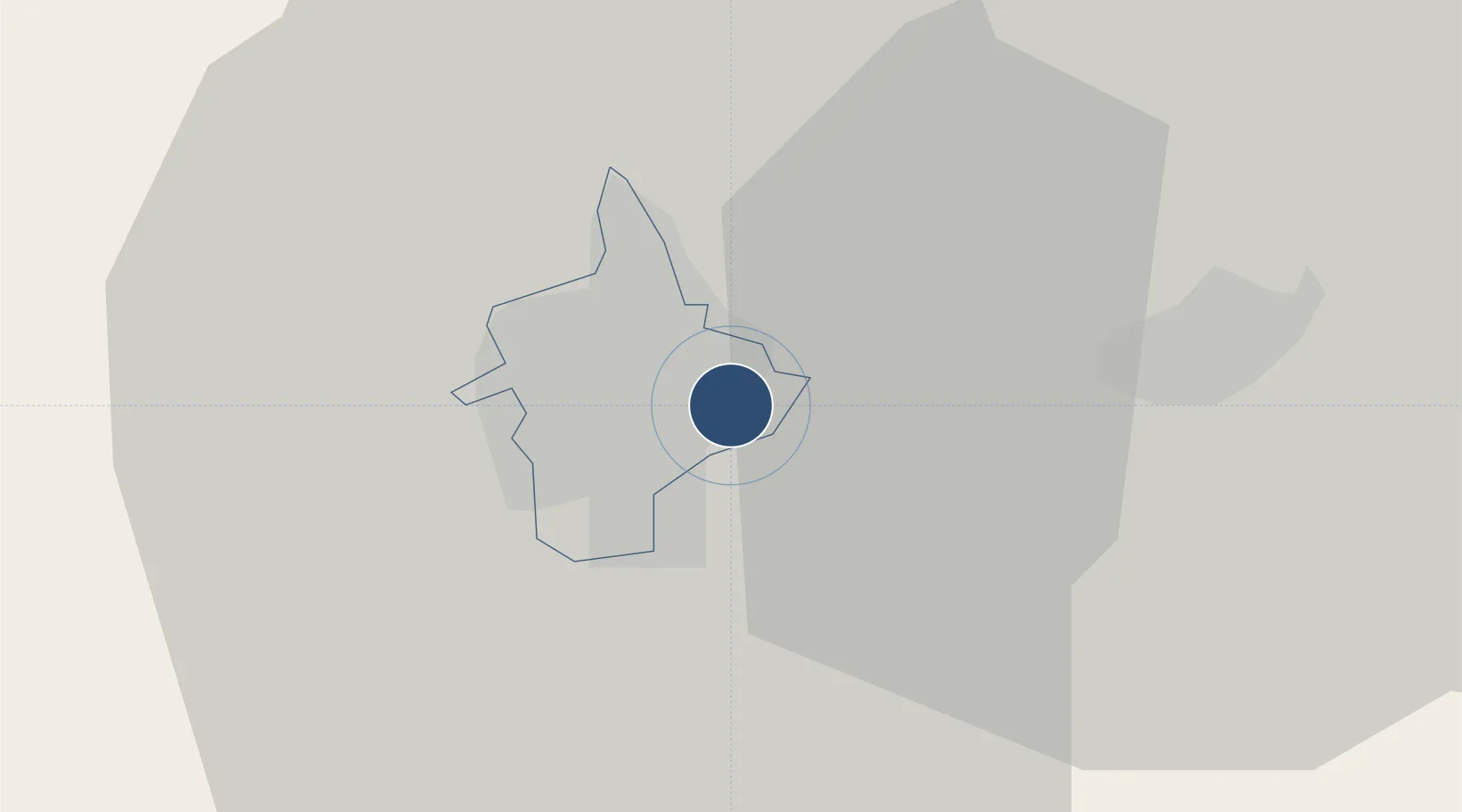
38.5437°, 68.8230°
10,170 ft
Longest runway
1
Runways
2,575 ft
Elevation

Runway & Layout

Dushanbe International Airport runway & taxiway layout
Runway & taxiway layout — OpenStreetMap (ODbL) / OurAirports

Radio Frequencies

ATIS
126.2 MHz
TWR
119.2 MHz
GND
121.7 MHz
APP
127.1 MHz
OurAirports

Navaids

DNB VOR-DME Dushanbe 113.60 MHz
FN NDB Dushanbe 372 kHz
WG NDB Dushanbe 420 kHz
OurAirports

Runways · 1

RunwayDimensions SurfaceTrue headingLit
09/27 10,170 × 147ft Asphalt 090°
OurAirports

Airport Specifications

IATA code
DYU
OurAirports
ICAO code
UTDD
OurAirports
Airport class
Large airport
OurAirports
Scheduled service
Yes
OurAirports
Runway surface
Asphalt
OurAirports
Served city
Dushanbe
OurAirports

Location

Location of UTDD
Natural Earth 10m (public domain) · Dushanbe · UTDD · 38.54, 68.82GoogleOSMYandex

Nearby Logistics Neighbours

Airports
  1. 1Gissar Air Base14 km
  2. 2Qurghonteppa International Airport75 km
  3. 3Khovaling Airport103 km
  4. 4Kulob Airport106 km
  5. 5Farkhor Air Base129 km
Nearest neighbours — logibook spatial index (haversine) over the source coordinates
Cities
  1. 1Qurghonteppa79 km
  2. 2Shaartuz156 km
  3. 3Jizzakh192 km
  4. 4Termez201 km
  5. 5Khujand203 km
Nearest neighbours — logibook spatial index (haversine) over the source coordinates
Ports
  1. 1Muhamamad Bin Qasim1538 km
  2. 2Karachi1540 km
  3. 3Gwadar1612 km
  4. 4Chah Bahar1665 km
  5. 5Jazireh-Ye Hormoz1716 km
Nearest neighbours — logibook spatial index (haversine) over the source coordinates
Trade Zones
  1. 1Dangara Free Economic Zone64 km
  2. 2Kulob Free Economic Zone104 km
  3. 3Pyanj Free Economic Zone148 km
  4. 4Urgut Free Economic Zone167 km
  5. 5Balik Ishlab Chikaruvchi Special Economic Zone176 km
Nearest neighbours — logibook spatial index (haversine) over the source coordinates
DatabookThe Record of Consolidated Knowledge
Tajikistan beyond logistics?
Browse databook

All Sources

AirportsOurAirports
Public domain
Portsthe NGA World Port Index
Public domain (US gov)
LocationsUN/LOCODE
UN/LOCODE — free
Trade Zonesthe World Bank SEZ database
CC BY 4.0
Trade ZonesOpen Zone Map
CC BY
InfrastructureOpenStreetMap
ODbL 1.0
← Tajikistan airports