Medium airport · Tajikistan

Gissar Air BaseTJ-UT45
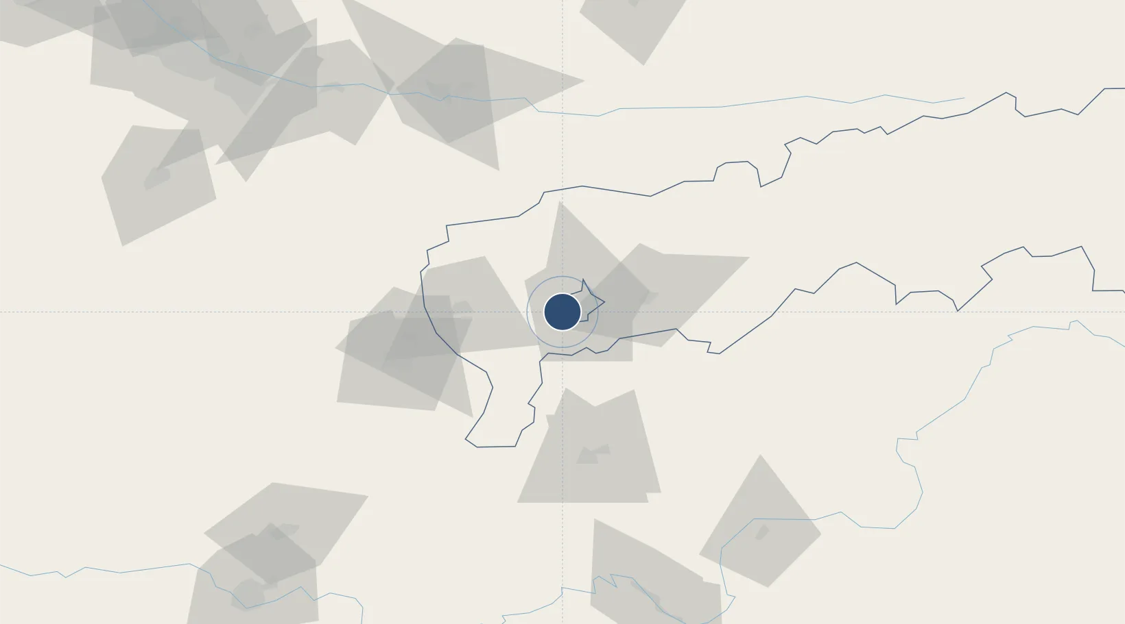
38.5123°, 68.6725°
8,270 ft
Longest runway
1
Runways
2,379 ft
Elevation

Runway & Layout

Gissar Air Base runway & taxiway layout
Runway & taxiway layout — OpenStreetMap (ODbL) / OurAirports

Runways · 1

RunwayDimensions SurfaceTrue headingLit
08/26 8,270 × 162ft Concrete 083°
OurAirports

Airport Specifications

Airport class
Medium airport
OurAirports
Scheduled service
No
OurAirports
Runway surface
Concrete
OurAirports
Served city
Dushanbe
OurAirports

Location

Location of TJ-UT45
Natural Earth 10m (public domain) · Tadzhikistan Territories · TJ-UT45 · 38.51, 68.67GoogleOSMYandex

Nearby Logistics Neighbours

Airports
  1. 1Dushanbe International Airport14 km
  2. 2Qurghonteppa International Airport74 km
  3. 3Kulob Airport115 km
  4. 4Khovaling Airport116 km
  5. 5Farkhor Air Base132 km
Nearest neighbours — logibook spatial index (haversine) over the source coordinates
Cities
  1. 1Qurghonteppa76 km
  2. 2Shaartuz148 km
  3. 3Termez190 km
  4. 4Jizzakh190 km
  5. 5Khujand211 km
Nearest neighbours — logibook spatial index (haversine) over the source coordinates
Ports
  1. 1Muhamamad Bin Qasim1534 km
  2. 2Karachi1535 km
  3. 3Gwadar1604 km
  4. 4Chah Bahar1656 km
  5. 5Jazireh-Ye Hormoz1704 km
Nearest neighbours — logibook spatial index (haversine) over the source coordinates
Trade Zones
  1. 1Dangara Free Economic Zone70 km
  2. 2Kulob Free Economic Zone113 km
  3. 3Pyanj Free Economic Zone148 km
  4. 4Urgut Free Economic Zone159 km
  5. 5Balik Ishlab Chikaruvchi Special Economic Zone177 km
Nearest neighbours — logibook spatial index (haversine) over the source coordinates
DatabookThe Record of Consolidated Knowledge
Tajikistan beyond logistics?
Browse databook

All Sources

AirportsOurAirports
Public domain
Portsthe NGA World Port Index
Public domain (US gov)
LocationsUN/LOCODE
UN/LOCODE — free
Trade Zonesthe World Bank SEZ database
CC BY 4.0
Trade ZonesOpen Zone Map
CC BY
InfrastructureOpenStreetMap
ODbL 1.0
← Tajikistan airports