UN/LOCODE hub · Uzbekistan
UZJIZ

Jizzakh

40.0986°, 67.8430°
2
Transport functions

Transport Functions

Rail
Road
UN/LOCODE

Hub Profile

Region
JI
GeoNames
Logistics facilities
1
UN/LOCODE

Location

Location of UZJIZ
Natural Earth 10m (public domain) · JI · UZJIZ · 40.10, 67.84GoogleOSMYandex

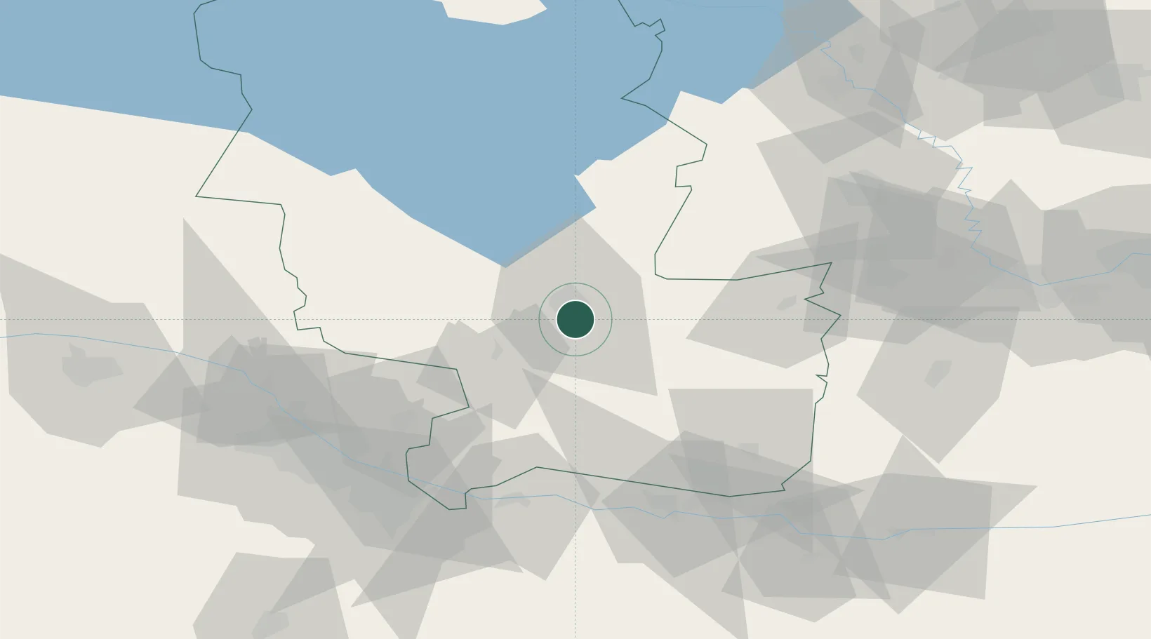
Nearby Logistics Neighbours

Cities
  1. 1Guliston91 km
  2. 2Khujand152 km
  3. 3Ohangaron176 km
  4. 4Tashkent180 km
  5. 5Chukur-Say182 km
Nearest neighbours — logibook spatial index (haversine) over the source coordinates
Ports
  1. 1Karachi1705 km
  2. 2Muhamamad Bin Qasim1705 km
  3. 3Gwadar1742 km
  4. 4Chah Bahar1781 km
  5. 5Jazireh-Ye Hormoz1786 km
Nearest neighbours — logibook spatial index (haversine) over the source coordinates
Airports
  1. 1Zomin Airport49 km
  2. 2Samarkand International Airport86 km
  3. 3Razzakov Airport150 km
  4. 4Khujand International Airport158 km
  5. 5Tashkent International Airport177 km
Nearest neighbours — logibook spatial index (haversine) over the source coordinates
Trade Zones
  1. 1Jizzakh Special Industrial Zone7 km
  2. 2Balik Ishlab Chikaruvchi Special Economic Zone40 km
  3. 3Sirdaryo Free Economic Zone91 km
  4. 4Urgut Free Economic Zone93 km
  5. 5Sirdaryo-pharm Free Economic Zone106 km
Nearest neighbours — logibook spatial index (haversine) over the source coordinates
DatabookThe Record of Consolidated Knowledge
Uzbekistan beyond logistics?
Browse databook

All Sources

LocationsUN/LOCODE
UN/LOCODE — free
Portsthe NGA World Port Index
Public domain (US gov)
AirportsOurAirports
Public domain
Trade Zonesthe World Bank SEZ database
CC BY 4.0
Trade ZonesOpen Zone Map
CC BY
← Uzbekistan locations