Transport Functions
Multimodal
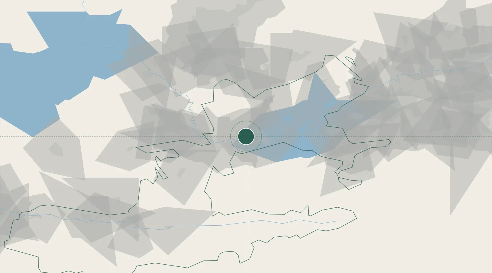
Hub Profile
Place type
Regional capital
Region
Sughd
Population
191,000
Time zone
Asia/Dushanbe
Elevation
340 m
Location
Nearby Logistics Neighbours
Cities
- 1Ohangaron70 km
- 2Guliston75 km
- 3Tashkent111 km
- 4Kokand115 km
- 5Chukur-Say127 km
Ports
- 1Muhamamad Bin Qasim1736 km
- 2Karachi1739 km
- 3Gwadar1815 km
- 4Chah Bahar1866 km
- 5Jazireh-Ye Hormoz1900 km
Airports
- 1Khujand International Airport9 km
- 2Razzakov Airport49 km
- 3Zomin Airport106 km
- 4Batken Airport107 km
- 5Tashkent International Airport114 km
Trade Zones
DatabookThe Record of Consolidated Knowledge
Tajikistan beyond logistics?