Diversified Zone · Tajikistan

Ishkoshim Free Economic Zone Active
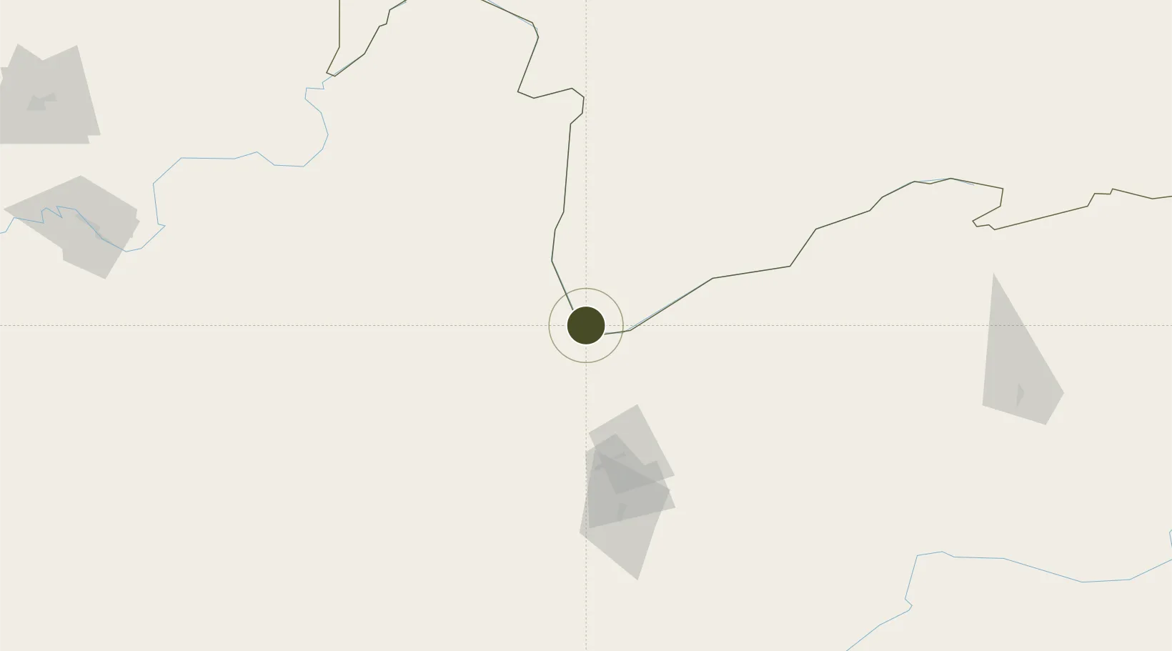
36.7246°, 71.6093°
200 ha
Zone area
1,390.1 km
Nearest port
94.8 km
Nearest airport

Gateway access

Nearest neighbours — logibook spatial index (haversine) over the source coordinates

Zone profile

Zone type
Diversified Zone
Open Zone Map
Region
Gorno-Badakhshan
Open Zone Map
Status
Active
Open Zone Map
Management
Public
Open Zone Map
Operator
Administration of FEZ "ISHKOSHIM"
Open Zone Map
Legal framework
Resolution on the Creation of Free Economic Zones "Ishkoshim" and "Dangara"
Open Zone Map

Location

Location of ozm-4398
Natural Earth 10m (public domain) · Gorno-Badakhshan · ozm-4398 · 36.72, 71.61GoogleOSMYandex

Nearby Logistics Neighbours

Ports
  1. 1Muhamamad Bin Qasim1390 km
  2. 2Karachi1399 km
  3. 3Kandla1528 km
  4. 4Navlakhi1535 km
  5. 5Mandvi1560 km
Nearest neighbours — logibook spatial index (haversine) over the source coordinates
Airports
  1. 1Chitral Airport95 km
  2. 2Fayzabad Airport106 km
  3. 3Qara Tepa Heliport208 km
  4. 4Kulob Airport213 km
  5. 5Farkhor Air Base214 km
Nearest neighbours — logibook spatial index (haversine) over the source coordinates
Cities
  1. 1Qasim188 km
  2. 2Torkham207 km
  3. 3Hayatabad273 km
  4. 4Qurghonteppa280 km
  5. 5Garhi Habibullah Khan304 km
Nearest neighbours — logibook spatial index (haversine) over the source coordinates
Trade Zones
  1. 1Moqpondass Special Economic Zone Gilgit-Baltistan158 km
  2. 2Kulob Free Economic Zone214 km
  3. 3Pyanj Free Economic Zone230 km
  4. 4Kunduz Special Economic Zone242 km
  5. 5Dangara Free Economic Zone258 km
Nearest neighbours — logibook spatial index (haversine) over the source coordinates
DatabookThe Record of Consolidated Knowledge
Tajikistan beyond logistics?
Browse databook

All Sources

Trade ZonesOpen Zone Map
CC BY
Portsthe NGA World Port Index
Public domain (US gov)
AirportsOurAirports
Public domain
LocationsUN/LOCODE
UN/LOCODE — free
← Tajikistan trade zones