Runway & Layout

Airport Specifications
IATA code
PQS
ICAO code
0AK
Airport class
Small airport
Scheduled service
Yes
Served city
Pilot Station
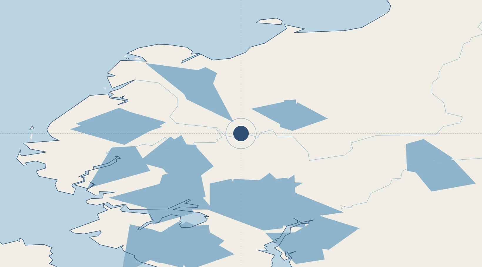
Location
Nearby Logistics Neighbours
Airports
- 1St Mary's Airport22 km
- 2Mountain Village Airport41 km
- 3Marshall Don Hunter Sr Airport49 km
- 4Russian Mission Airport88 km
- 5Nunam Iqua Airport117 km
Cities
- 1Sledge Island324 km
- 2Lavrentiya564 km
- 3Uelen574 km
- 4Provideniya, Bukhta585 km
- 5Susitna656 km
Ports
- 1Kotlik123 km
- 2Bethel143 km
- 3St. Michael175 km
- 4Unalakleet240 km
- 5Solomon297 km
Trade Zones
- 1FTZ No. 160 Anchorage694 km
- 2FTZ No. 232 Kodiak720 km
- 3FTZ No. 195 Fairbanks820 km
- 4FTZ No. 108 Valdez881 km
- 5PrInce George Logistics Park2487 km
DatabookThe Record of Consolidated Knowledge
United States beyond logistics?