Small airport · United States
Mountain Village AirportPAMO
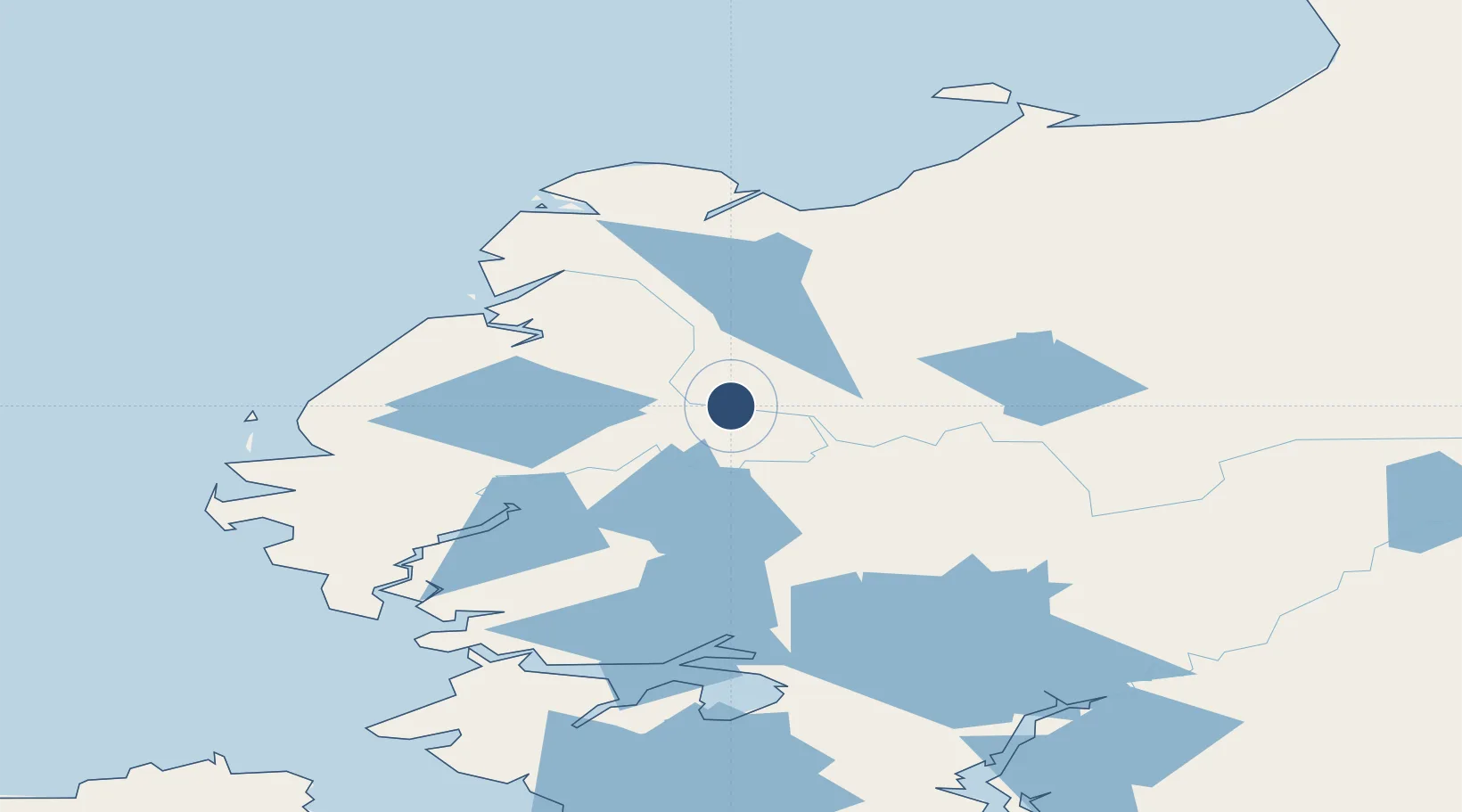
62.0954°, -163.6820°
3,501 ft
Longest runway
1
Runways
337 ft
Elevation
Runway & Layout

Runways · 1
| Runway | Dimensions | Surface | True heading | Lit |
|---|---|---|---|---|
| 02/20 | 3,501 × 75ft | GRVL-P | 032° | — |
Airport Specifications
IATA code
MOU
ICAO code
PAMO
Airport class
Small airport
Scheduled service
Yes
Runway surface
GRVL-P
Served city
Mountain Village
Location
Nearby Logistics Neighbours
Airports
- 1St Mary's Airport20 km
- 2Pilot Station Airport41 km
- 3Nunam Iqua Airport77 km
- 4Alakanuk Airport85 km
- 5Emmonak Airport87 km
Cities
- 1Sledge Island294 km
- 2Lavrentiya528 km
- 3Uelen541 km
- 4Provideniya, Bukhta544 km
- 5Susitna694 km
Ports
- 1Kotlik105 km
- 2St. Michael176 km
- 3Bethel176 km
- 4Unalakleet247 km
- 5Solomon275 km
Trade Zones
- 1FTZ No. 160 Anchorage733 km
- 2FTZ No. 232 Kodiak759 km
- 3FTZ No. 195 Fairbanks847 km
- 4FTZ No. 108 Valdez919 km
- 5PrInce George Logistics Park2526 km
DatabookThe Record of Consolidated Knowledge
United States beyond logistics?