Small airport · United States
Marshall Don Hunter Sr AirportPADM
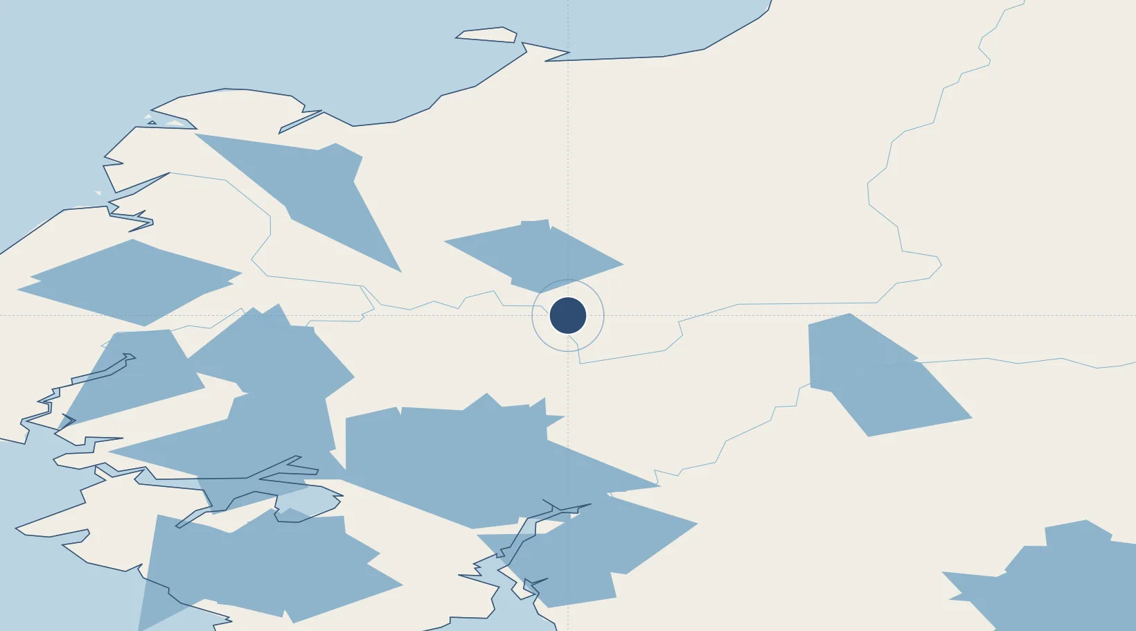
61.8643°, -162.0260°
3,200 ft
Longest runway
1
Runways
103 ft
Elevation
Runway & Layout

Radio Frequencies
CTAF
122.9 MHz
CNTR
132.3 MHz
ANCHORAGE CNTR
RCO
124 MHz
ST MARYS RDO
Runways · 1
| Runway | Dimensions | Surface | True heading | Lit |
|---|---|---|---|---|
| 07/25 | 3,200 × 100ft | Gravel | 085° | ✓ |
Airport Specifications
IATA code
MLL
ICAO code
PADM
Airport class
Small airport
Scheduled service
Yes
Runway surface
Gravel
Served city
Marshall
Location
Nearby Logistics Neighbours
Airports
- 1Russian Mission Airport38 km
- 2Pilot Station Airport49 km
- 3St Mary's Airport70 km
- 4Mountain Village Airport90 km
- 5Kalskag Airport96 km
Cities
- 1Sledge Island359 km
- 2Lavrentiya604 km
- 3Susitna608 km
- 4Uelen610 km
- 5Provideniya, Bukhta631 km
Ports
- 1Bethel118 km
- 2Kotlik152 km
- 3St. Michael180 km
- 4Unalakleet233 km
- 5Platinum317 km
Trade Zones
- 1FTZ No. 160 Anchorage646 km
- 2FTZ No. 232 Kodiak676 km
- 3FTZ No. 195 Fairbanks785 km
- 4FTZ No. 108 Valdez833 km
- 5PrInce George Logistics Park2438 km
DatabookThe Record of Consolidated Knowledge
United States beyond logistics?