Medium airport · Mongolia
Choibalsan AirportZMCD
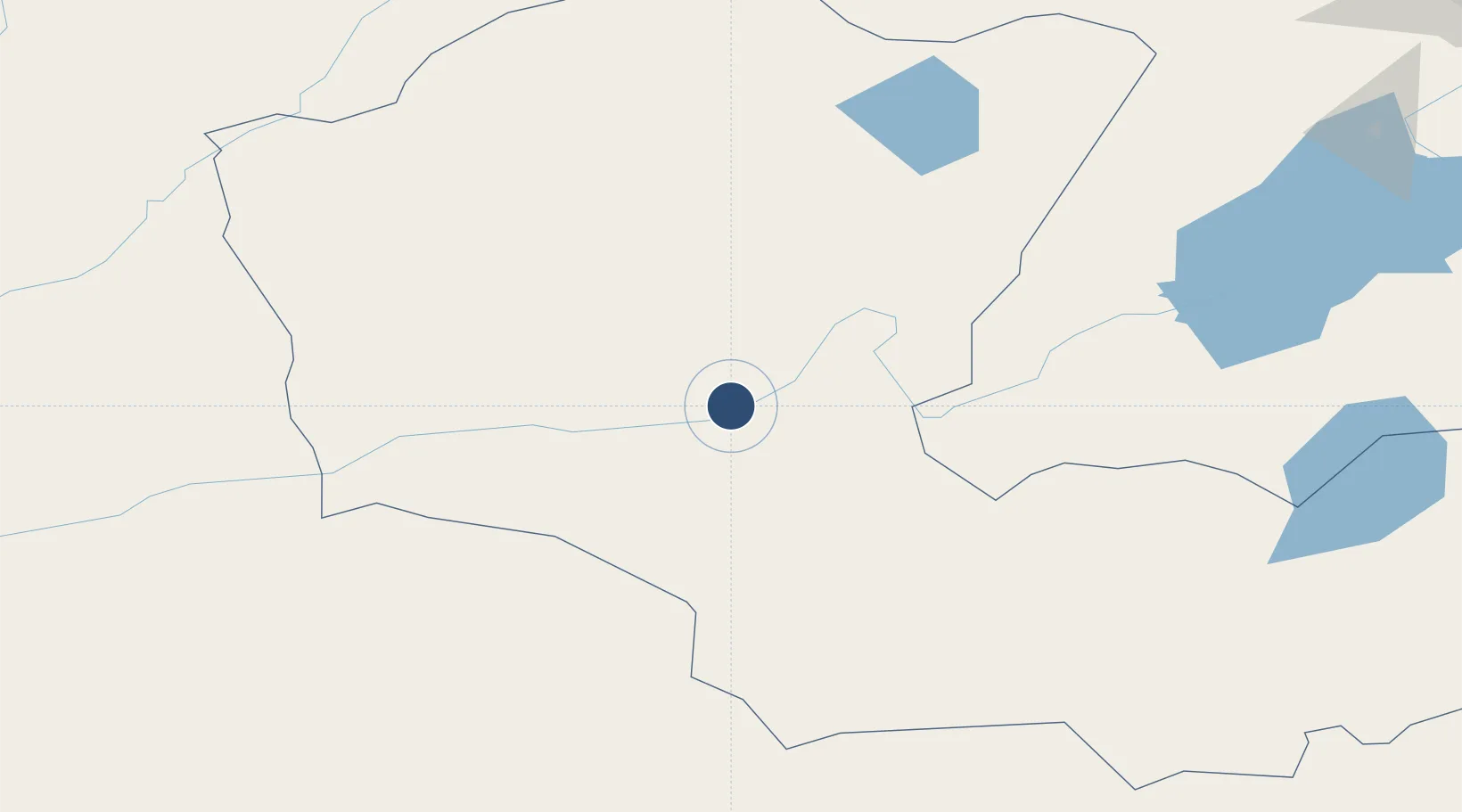
48.1354°, 114.6472°
8,530 ft
Longest runway
1
Runways
2,457 ft
Elevation
Runway & Layout

Radio Frequencies
APP
130 MHz
ONON APP
RDO
550.5 MHz
ONON RDO
Runways · 1
| Runway | Dimensions | Surface | True heading | Lit |
|---|---|---|---|---|
| 12/30 | 8,530 × 131ft | Concrete | 112° | ✓ |
Airport Specifications
IATA code
COQ
ICAO code
ZMCD
Airport class
Medium airport
Scheduled service
Yes
Runway surface
Concrete
Location
Nearby Logistics Neighbours
Airports
- 1Baruun Urt Airport193 km
- 2Manzhouli Xijiao Airport253 km
- 3Chindant Air Base280 km
- 4Step Air Base325 km
- 5Krasnokamensk Airport326 km
Cities
- 1Schondorf am Ammersee48 km
- 2Ihrlerstein102 km
- 3Adelschlag218 km
- 4Zabaykal'sk257 km
- 5Manzhouli257 km
Ports
- 1Jinzhou Wan967 km
- 2Huludao Gang967 km
- 3Qinhuangdao994 km
- 4Yingkou1024 km
- 5Tianjin Xin Gang1051 km
DatabookThe Record of Consolidated Knowledge
Mongolia beyond logistics?