Medium airport · Anguilla

Clayton J. Lloyd International AirportTQPF
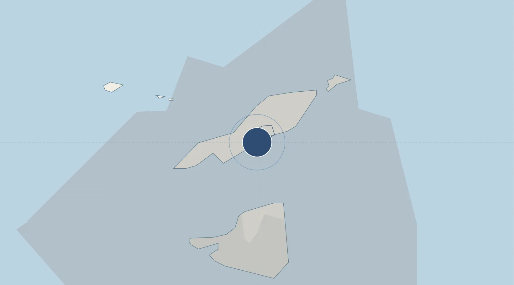
18.2048°, -63.0538°
5,462 ft
Longest runway
1
Runways
127 ft
Elevation

Runway & Layout

Clayton J. Lloyd International Airport runway & taxiway layout
Runway & taxiway layout — OpenStreetMap (ODbL) / OurAirports

Radio Frequencies

TWR
118.5 MHz
APP
128.95 MHz
JULIANA APP
OurAirports

Navaids

ANG NDB Wallblake 209 kHz
OurAirports

Runways · 1

RunwayDimensions SurfaceTrue headingLit
11/29 5,462 × 98ft Asphalt 091°
OurAirports

Airport Specifications

IATA code
AXA
OurAirports
ICAO code
TQPF
OurAirports
Airport class
Medium airport
OurAirports
Scheduled service
Yes
OurAirports
Runway surface
Asphalt
OurAirports
Served city
The Valley
OurAirports

Location

Location of TQPF
Natural Earth 10m (public domain) · The Farrington · TQPF · 18.20, -63.05GoogleOSMYandex

Nearby Logistics Neighbours

Airports
  1. 1Grand Case-l'Espérance Airport12 km
  2. 2Princess Juliana International Airport19 km
  3. 3St. Jean Airport40 km
  4. 4Juancho E. Yrausquin Airport65 km
  5. 5F. D. Roosevelt Airport79 km
Nearest neighbours — logibook spatial index (haversine) over the source coordinates
Cities
  1. 1Meads Bay Beach9 km
  2. 2Marigot14 km
  3. 3Marigot15 km
  4. 4Galisbay16 km
  5. 5Marigot16 km
Nearest neighbours — logibook spatial index (haversine) over the source coordinates
Ports
  1. 1Philipsburg21 km
  2. 2Gustavia40 km
  3. 3Oranjestad81 km
  4. 4Basseterre107 km
  5. 5Charlestown127 km
Nearest neighbours — logibook spatial index (haversine) over the source coordinates
Trade Zones
  1. 1Free Trade & Processing Zone177 km
  2. 2Antigua and Barbuda Special Economic Zone (ABSEZ)185 km
  3. 3FTZ No. 061 San Juan326 km
  4. 4FTZ No. 163 Ponce370 km
  5. 5FTZ No. 007 Mayaguez434 km
Nearest neighbours — logibook spatial index (haversine) over the source coordinates
DatabookThe Record of Consolidated Knowledge
Anguilla beyond logistics?
Browse databook

All Sources

AirportsOurAirports
Public domain
Portsthe NGA World Port Index
Public domain (US gov)
LocationsUN/LOCODE
UN/LOCODE — free
Trade Zonesthe World Bank SEZ database
CC BY 4.0
Trade ZonesOpen Zone Map
CC BY
InfrastructureOpenStreetMap
ODbL 1.0
← Anguilla airports