Large airport · Sint Maarten

Princess Juliana International AirportTNCM
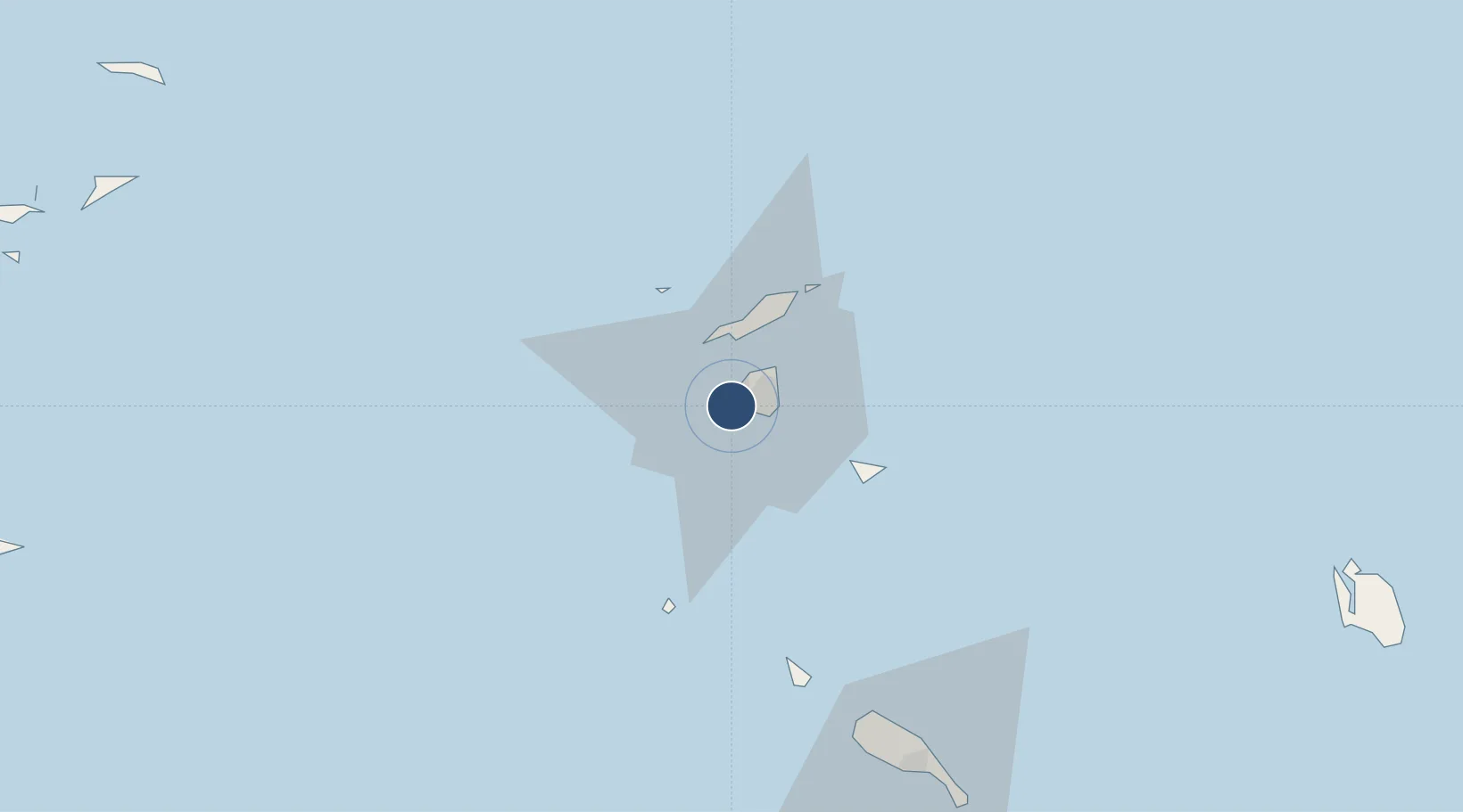
18.0410°, -63.1089°
7,546 ft
Longest runway
1
Runways
13 ft
Elevation

Runway & Layout

Princess Juliana International Airport runway & taxiway layout
Runway & taxiway layout — OpenStreetMap (ODbL) / OurAirports

Radio Frequencies

TWR
118.7 MHz
JULIANA TWR
APP
128.95 MHz
JULIANA APP
OurAirports

Navaids

PJD NDB St.mMarten 284 kHz
PJM VOR-DME St.mMarten 113.00 MHz
OurAirports

Runways · 1

RunwayDimensions SurfaceTrue headingLit
10/28 7,546 × 148ft Asphalt 096°
OurAirports

Airport Specifications

IATA code
SXM
OurAirports
ICAO code
TNCM
OurAirports
Airport class
Large airport
OurAirports
Scheduled service
Yes
OurAirports
Runway surface
Asphalt
OurAirports
Served city
Sint Maarten
OurAirports

Location

Location of TNCM
Natural Earth 10m (public domain) · Sint Maarten · TNCM · 18.04, -63.11GoogleOSMYandex

Nearby Logistics Neighbours

Airports
  1. 1Grand Case-l'Espérance Airport9 km
  2. 2Clayton J. Lloyd International Airport19 km
  3. 3St. Jean Airport32 km
  4. 4Juancho E. Yrausquin Airport46 km
  5. 5F. D. Roosevelt Airport62 km
Nearest neighbours — logibook spatial index (haversine) over the source coordinates
Cities
  1. 1Sint-Maarten Apt1 km
  2. 2Galisbay4 km
  3. 3Marigot4 km
  4. 4Gallis Bay5 km
  5. 5Marigot5 km
Nearest neighbours — logibook spatial index (haversine) over the source coordinates
Ports
  1. 1Philipsburg7 km
  2. 2Gustavia32 km
  3. 3Oranjestad63 km
  4. 4Basseterre92 km
  5. 5Charlestown113 km
Nearest neighbours — logibook spatial index (haversine) over the source coordinates
Trade Zones
  1. 1Free Trade & Processing Zone171 km
  2. 2Antigua and Barbuda Special Economic Zone (ABSEZ)178 km
  3. 3FTZ No. 061 San Juan322 km
  4. 4FTZ No. 163 Ponce364 km
  5. 5FTZ No. 007 Mayaguez429 km
Nearest neighbours — logibook spatial index (haversine) over the source coordinates
DatabookThe Record of Consolidated Knowledge
Sint Maarten beyond logistics?
Browse databook

All Sources

AirportsOurAirports
Public domain
Portsthe NGA World Port Index
Public domain (US gov)
LocationsUN/LOCODE
UN/LOCODE — free
Trade Zonesthe World Bank SEZ database
CC BY 4.0
Trade ZonesOpen Zone Map
CC BY
← Sint Maarten airports