UN/LOCODE hub · Guadeloupe
GPMSB

Marigot

18.0832°, -63.0841°
3
Transport functions

Transport Functions

Port
Road
Airport
UN/LOCODE

Hub Profile

Place type
Populated place
GeoNames
Region
Guadeloupe
GeoNames
Time zone
America/Guadeloupe
GeoNames
Elevation
7 m
GeoNames
Logistics facilities
1
UN/LOCODE

Location

Location of GPMSB
Natural Earth 10m (public domain) · Guadeloupe · GPMSB · 18.08, -63.08GoogleOSMYandex

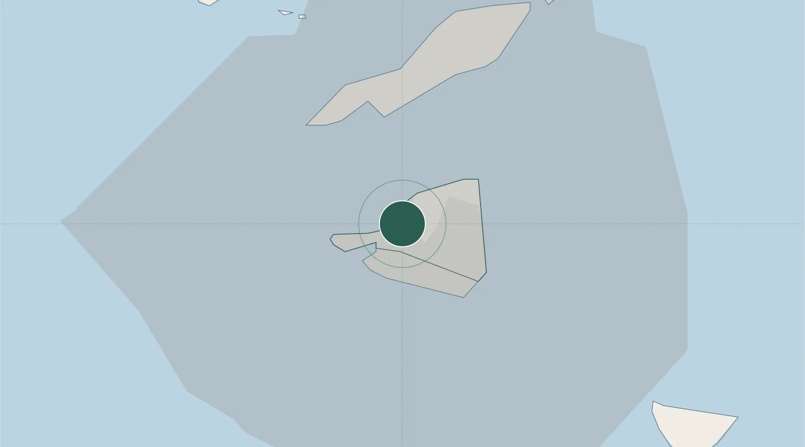
Nearby Logistics Neighbours

Cities
  1. 1Galisbay2 km
  2. 2Marigot2 km
  3. 3Marigot3 km
  4. 4Sint-Maarten Apt5 km
  5. 5Gallis Bay8 km
Nearest neighbours — logibook spatial index (haversine) over the source coordinates
Ports
  1. 1Philipsburg8 km
  2. 2Gustavia32 km
  3. 3Oranjestad68 km
  4. 4Basseterre95 km
  5. 5Charlestown116 km
Nearest neighbours — logibook spatial index (haversine) over the source coordinates
Airports
  1. 1Grand Case-l'Espérance Airport4 km
  2. 2Princess Juliana International Airport5 km
  3. 3Clayton J. Lloyd International Airport14 km
  4. 4St. Jean Airport32 km
  5. 5Juancho E. Yrausquin Airport51 km
Nearest neighbours — logibook spatial index (haversine) over the source coordinates
Trade Zones
  1. 1Free Trade & Processing Zone171 km
  2. 2Antigua and Barbuda Special Economic Zone (ABSEZ)179 km
  3. 3FTZ No. 061 San Juan324 km
  4. 4FTZ No. 163 Ponce367 km
  5. 5FTZ No. 007 Mayaguez431 km
Nearest neighbours — logibook spatial index (haversine) over the source coordinates

All Sources

LocationsUN/LOCODE
UN/LOCODE — free
Portsthe NGA World Port Index
Public domain (US gov)
AirportsOurAirports
Public domain
Trade Zonesthe World Bank SEZ database
CC BY 4.0
Trade ZonesOpen Zone Map
CC BY
← Guadeloupe locations