UN/LOCODE hub · Sint Maarten
SXMAR

Marigot

18.0667°, -63.0667°
1
Transport functions

Transport Functions

Port
UN/LOCODE

Location

Location of SXMAR
Natural Earth 10m (public domain) · St. Martin · SXMAR · 18.07, -63.07GoogleOSMYandex

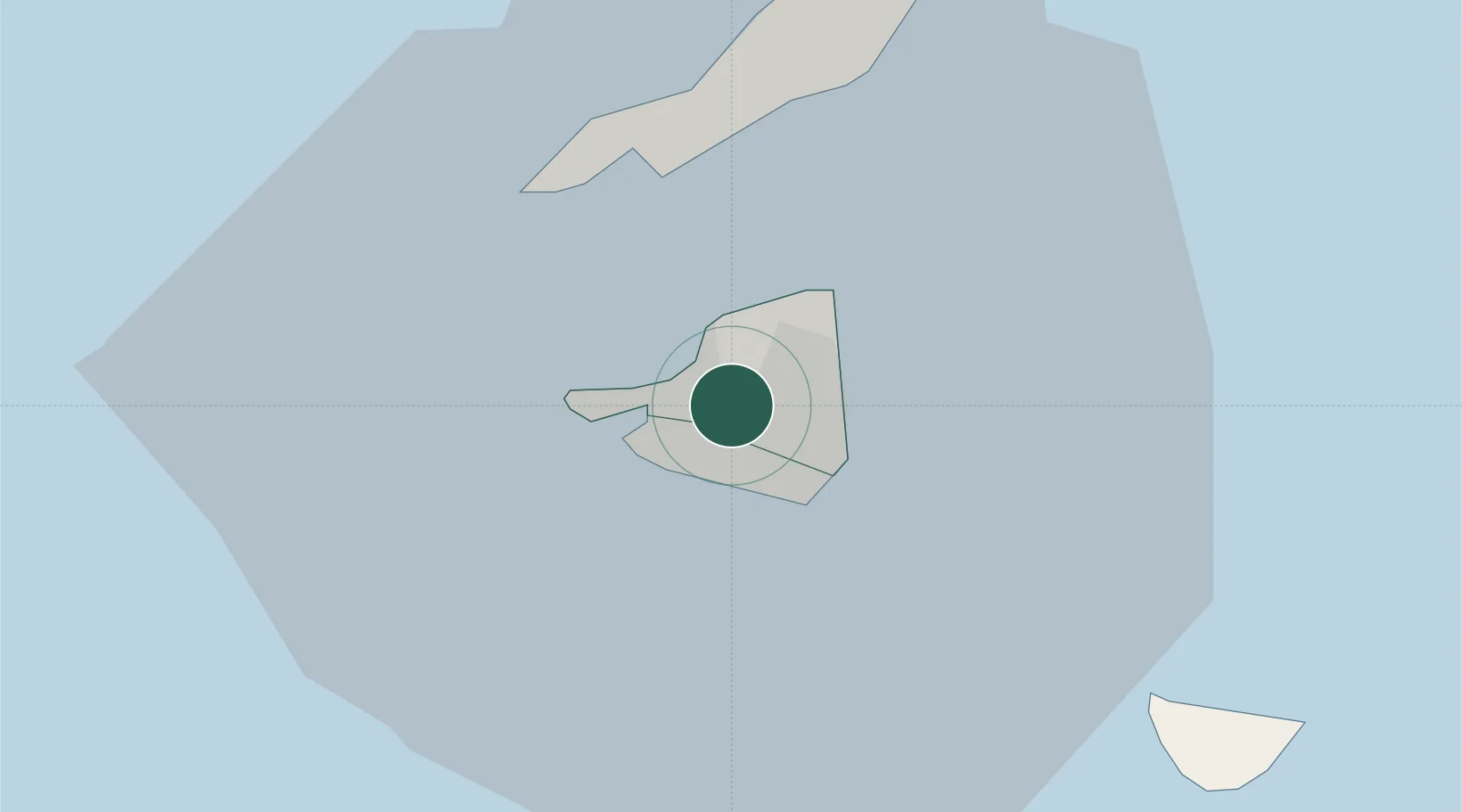
Nearby Logistics Neighbours

Cities
  1. 1Galisbay2 km
  2. 2Marigot2 km
  3. 3Marigot3 km
  4. 4Gallis Bay6 km
  5. 5Sint-Maarten Apt6 km
Nearest neighbours — logibook spatial index (haversine) over the source coordinates
Ports
  1. 1Philipsburg6 km
  2. 2Gustavia30 km
  3. 3Oranjestad66 km
  4. 4Basseterre93 km
  5. 5Charlestown114 km
Nearest neighbours — logibook spatial index (haversine) over the source coordinates
Airports
  1. 1Grand Case-l'Espérance Airport4 km
  2. 2Princess Juliana International Airport5 km
  3. 3Clayton J. Lloyd International Airport15 km
  4. 4St. Jean Airport30 km
  5. 5Juancho E. Yrausquin Airport50 km
Nearest neighbours — logibook spatial index (haversine) over the source coordinates
Trade Zones
  1. 1Free Trade & Processing Zone169 km
  2. 2Antigua and Barbuda Special Economic Zone (ABSEZ)176 km
  3. 3FTZ No. 061 San Juan326 km
  4. 4FTZ No. 163 Ponce368 km
  5. 5FTZ No. 007 Mayaguez433 km
Nearest neighbours — logibook spatial index (haversine) over the source coordinates
DatabookThe Record of Consolidated Knowledge
Sint Maarten beyond logistics?
Browse databook

All Sources

LocationsUN/LOCODE
UN/LOCODE — free
Portsthe NGA World Port Index
Public domain (US gov)
AirportsOurAirports
Public domain
Trade Zonesthe World Bank SEZ database
CC BY 4.0
Trade ZonesOpen Zone Map
CC BY
← Sint Maarten locations