Transport Functions
Port
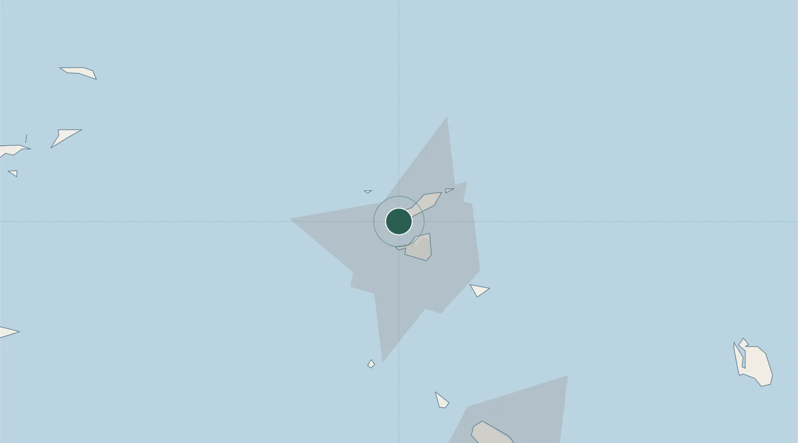
Location
Nearby Logistics Neighbours
Cities
- 1Marigot11 km
- 2Galisbay12 km
- 3Marigot12 km
- 4Sint-Maarten Apt13 km
- 5Marigot13 km
Ports
- 1Philipsburg19 km
- 2Gustavia42 km
- 3Oranjestad78 km
- 4Basseterre106 km
- 5Charlestown127 km
Airports
Trade Zones
- 1Free Trade & Processing Zone181 km
- 2Antigua and Barbuda Special Economic Zone (ABSEZ)189 km
- 3FTZ No. 061 San Juan317 km
- 4FTZ No. 163 Ponce362 km
- 5FTZ No. 007 Mayaguez426 km
DatabookThe Record of Consolidated Knowledge
Anguilla beyond logistics?