Transport Functions
Port
Hub Profile
Place type
Populated place
Time zone
America/Marigot
Elevation
5 m
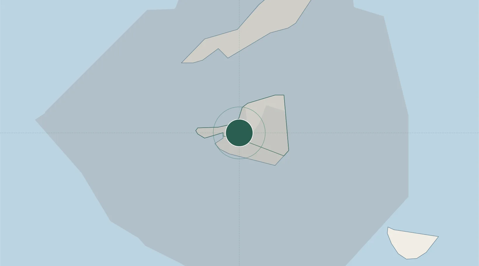
Location
Nearby Logistics Neighbours
Cities
- 1Marigot0 km
- 2Marigot2 km
- 3Marigot2 km
- 4Sint-Maarten Apt4 km
- 5Gallis Bay6 km
Ports
- 1Philipsburg7 km
- 2Gustavia31 km
- 3Oranjestad66 km
- 4Basseterre94 km
- 5Charlestown114 km
Airports
Trade Zones
- 1Free Trade & Processing Zone170 km
- 2Antigua and Barbuda Special Economic Zone (ABSEZ)178 km
- 3FTZ No. 061 San Juan324 km
- 4FTZ No. 163 Ponce367 km
- 5FTZ No. 007 Mayaguez431 km
DatabookThe Record of Consolidated Knowledge
St. Martin beyond logistics?