Small airport · United States
Tuluksak AirportTLT
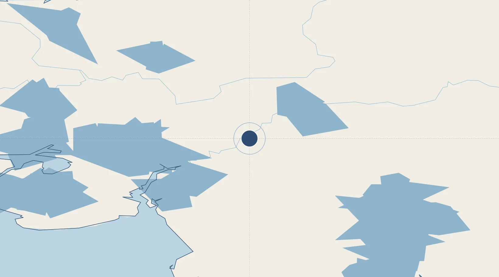
61.0870°, -160.9228°
3,300 ft
Longest runway
1
Runways
30 ft
Elevation
Runway & Layout

Runways · 1
| Runway | Dimensions | Surface | True heading | Lit |
|---|---|---|---|---|
| 15/33 | 3,300 × 60ft | Gravel | — | ✓ |
Airport Specifications
IATA code
TLT
ICAO code
PALT
Airport class
Small airport
Scheduled service
Yes
Runway surface
Gravel
Served city
Tuluksak
Location
Nearby Logistics Neighbours
Airports
- 1Akiak Airport26 km
- 2Akiachak Airport36 km
- 3Kwethluk Airport43 km
- 4Kalskag Airport59 km
- 5Bethel Airport60 km
Cities
- 1Sledge Island463 km
- 2Jakolof Bay549 km
- 3Susitna558 km
- 4Afognak573 km
- 5Port MacKenzie590 km
Ports
- 1Bethel52 km
- 2Platinum236 km
- 3Kotlik256 km
- 4Dillingham265 km
- 5St. Michael273 km
Trade Zones
- 1FTZ No. 232 Kodiak575 km
- 2FTZ No. 160 Anchorage591 km
- 3FTZ No. 108 Valdez781 km
- 4FTZ No. 195 Fairbanks785 km
- 5PrInce George Logistics Park2376 km
DatabookThe Record of Consolidated Knowledge
United States beyond logistics?