Small airport · United States
Kalskag AirportPALG
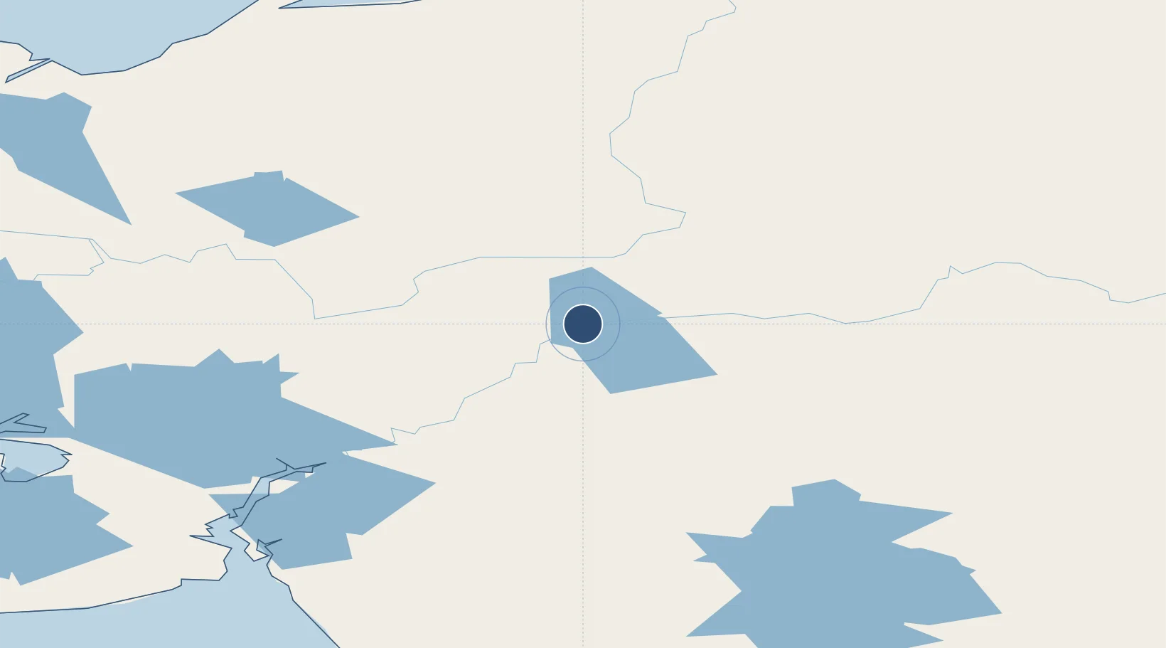
61.5363°, -160.3410°
3,198 ft
Longest runway
1
Runways
55 ft
Elevation
Runway & Layout

Runways · 1
| Runway | Dimensions | Surface | True heading | Lit |
|---|---|---|---|---|
| 07/25 | 3,198 × 75ft | GRVL-G | 081° | ✓ |
Airport Specifications
IATA code
KLG
ICAO code
PALG
Airport class
Small airport
Scheduled service
Yes
Runway surface
GRVL-G
Served city
Kalskag
Location
Nearby Logistics Neighbours
Airports
- 1Aniak Airport43 km
- 2Russian Mission Airport58 km
- 3Tuluksak Airport59 km
- 4Chuathbaluk Airport60 km
- 5Holy Cross Airport78 km
Cities
- 1Sledge Island441 km
- 2Susitna521 km
- 3Jakolof Bay536 km
- 4Port MacKenzie555 km
- 5Houston556 km
Ports
- 1Bethel109 km
- 2St. Michael233 km
- 3Kotlik235 km
- 4Unalakleet262 km
- 5Platinum292 km
Trade Zones
- 1FTZ No. 160 Anchorage557 km
- 2FTZ No. 232 Kodiak588 km
- 3FTZ No. 195 Fairbanks731 km
- 4FTZ No. 108 Valdez746 km
- 5PrInce George Logistics Park2347 km
DatabookThe Record of Consolidated Knowledge
United States beyond logistics?