Small airport · United States
Akiak AirportPFAK
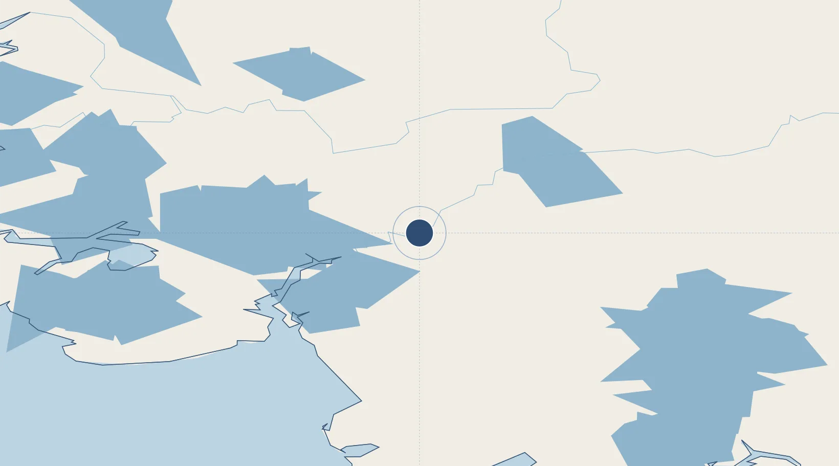
60.9026°, -161.2311°
3,200 ft
Longest runway
1
Runways
30 ft
Elevation
Runway & Layout

Runways · 1
| Runway | Dimensions | Surface | True heading | Lit |
|---|---|---|---|---|
| 03/21 | 3,200 × 76ft | GRVL-G | 047° | — |
Airport Specifications
IATA code
AKI
ICAO code
PFAK
Airport class
Small airport
Scheduled service
Yes
Runway surface
GRVL-G
Served city
Akiak
Location
Nearby Logistics Neighbours
Airports
- 1Akiachak Airport14 km
- 2Kwethluk Airport17 km
- 3Tuluksak Airport26 km
- 4Bethel Airport36 km
- 5Napaskiak Airport37 km
Cities
- 1Sledge Island472 km
- 2Jakolof Bay560 km
- 3Afognak576 km
- 4Susitna578 km
- 5Port MacKenzie609 km
Ports
- 1Bethel28 km
- 2Platinum212 km
- 3Dillingham258 km
- 4Kotlik266 km
- 5Clarks Point273 km
Trade Zones
- 1FTZ No. 232 Kodiak575 km
- 2FTZ No. 160 Anchorage611 km
- 3FTZ No. 108 Valdez800 km
- 4FTZ No. 195 Fairbanks811 km
- 5PrInce George Logistics Park2392 km
DatabookThe Record of Consolidated Knowledge
United States beyond logistics?