Free Trade Zone · Venezuela

Free Port of the Nueva Esparta State Active
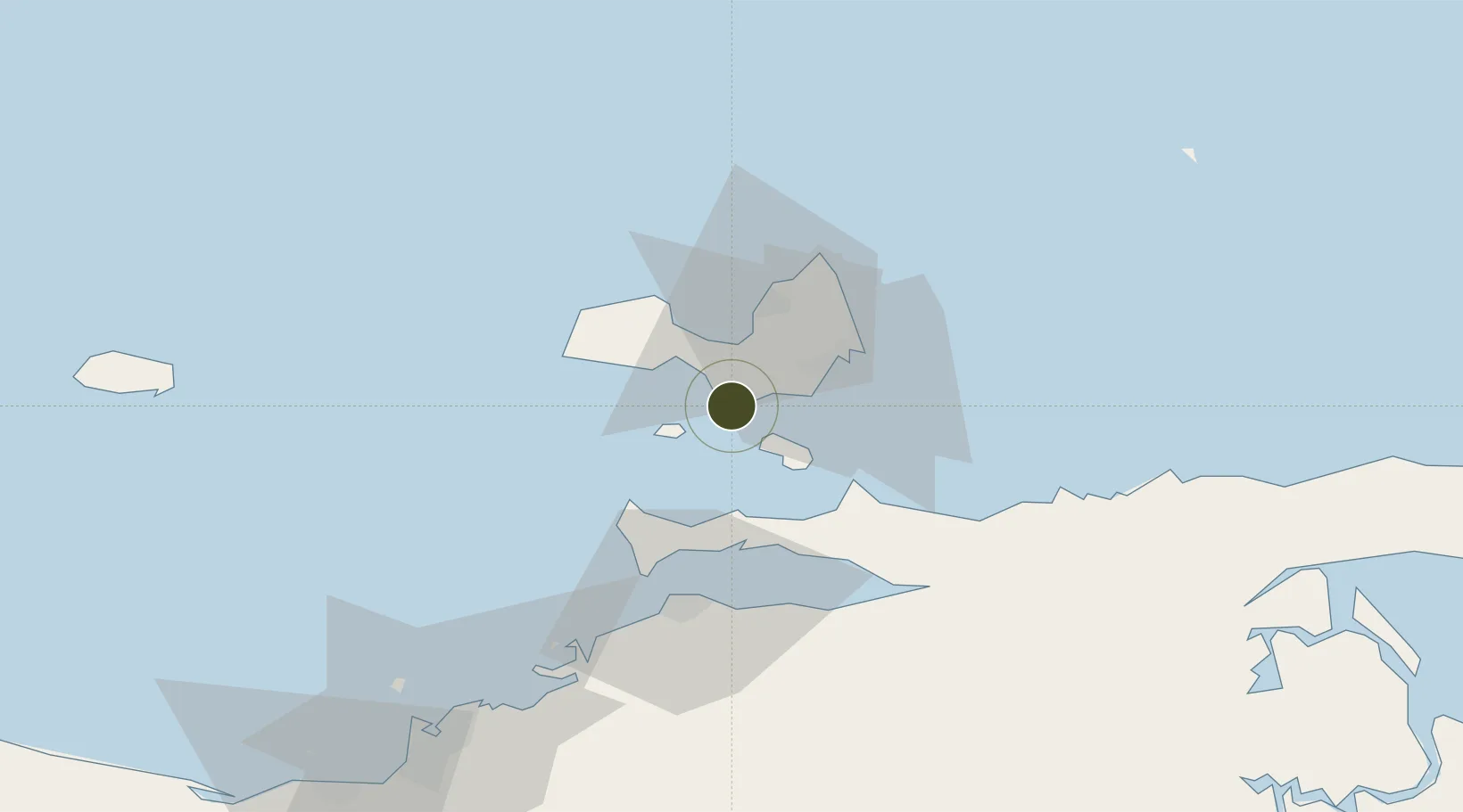
10.8649°, -64.0616°
1,780 ha
Zone area
5.7 km
Nearest port
11.7 km
Nearest airport

Gateway access

Nearest neighbours — logibook spatial index (haversine) over the source coordinates

Zone profile

Zone type
Free Trade Zone
Open Zone Map
Region
Nueva Esparta
Open Zone Map
Status
Active
Open Zone Map
Management
Public
Open Zone Map
Operator
SENIAT
Open Zone Map
Legal framework
Gaceta Oficial de la República Bolivariana de Venezuela N° 37.006
Open Zone Map

Location

Location of ozm-5023
Natural Earth 10m (public domain) · Nueva Esparta · ozm-5023 · 10.86, -64.06GoogleOSMYandex

Nearby Logistics Neighbours

Ports
  1. 1El Guamache6 km
  2. 2Cumana (Puerto Sucre)46 km
  3. 3Guanta89 km
  4. 4Bahia De Pertigalete89 km
  5. 5Carupano91 km
Nearest neighbours — logibook spatial index (haversine) over the source coordinates
Cities
  1. 1Agua de Vaca18 km
  2. 2La Asuncion27 km
  3. 3Puerto Carenero44 km
  4. 4Guanta90 km
  5. 5El Chaure91 km
Nearest neighbours — logibook spatial index (haversine) over the source coordinates
Trade Zones
  1. 1Zona Franca Industrial, Comercial y de Servicios de Cumaná50 km
  2. 2Point Fortin Industrial Park271 km
  3. 3Diamond Vale Industrial Park273 km
  4. 4Guarenas-Guatire Special Economic Zone280 km
  5. 5Abbatoir280 km
Nearest neighbours — logibook spatial index (haversine) over the source coordinates
DatabookThe Record of Consolidated Knowledge
Venezuela beyond logistics?
Browse databook

All Sources

Trade ZonesOpen Zone Map
CC BY
Portsthe NGA World Port Index
Public domain (US gov)
AirportsOurAirports
Public domain
LocationsUN/LOCODE
UN/LOCODE — free
← Venezuela trade zones