Medium airport · Venezuela

San Tomé AirportSVST
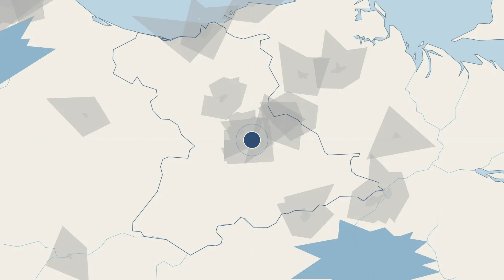
8.9451°, -64.1511°
6,299 ft
Longest runway
1
Runways
861 ft
Elevation

Runway & Layout

San Tomé Airport runway & taxiway layout
Runway & taxiway layout — OpenStreetMap (ODbL) / OurAirports

Radio Frequencies

TWR
118.85 MHz
OurAirports

Navaids

SOM VOR-DME San Tome 116.50 MHz
SOM NDB San Tome 220 kHz
OurAirports

Runways · 1

RunwayDimensions SurfaceTrue headingLit
08/26 6,299 × 148ft Asphalt 068°
OurAirports

Airport Specifications

IATA code
SOM
OurAirports
ICAO code
SVST
OurAirports
Airport class
Medium airport
OurAirports
Scheduled service
Yes
OurAirports
Runway surface
Asphalt
OurAirports
Served city
El Tigre
OurAirports

Location

Location of SVST
Natural Earth 10m (public domain) · Anzoátegui · SVST · 8.95, -64.15GoogleOSMYandex

Nearby Logistics Neighbours

Airports
  1. 1Anaco Airport64 km
  2. 2General Tomas de Heres Airport114 km
  3. 3José Tadeo Monagas International Airport141 km
  4. 4General José Antonio Anzoategui International Airport143 km
  5. 5Antonio José de Sucre Airport167 km
Nearest neighbours — logibook spatial index (haversine) over the source coordinates
Cities
  1. 1Punta de Mata107 km
  2. 2Ciudad Bolívar113 km
  3. 3Jose Terminal150 km
  4. 4Guanta153 km
  5. 5El Chaure154 km
Nearest neighbours — logibook spatial index (haversine) over the source coordinates
Ports
  1. 1Ciudad Bolivar112 km
  2. 2Jose Terminal150 km
  3. 3Bahia De Pertigalete150 km
  4. 4Guanta153 km
  5. 5Puerto La Cruz154 km
Nearest neighbours — logibook spatial index (haversine) over the source coordinates
Trade Zones
  1. 1Zona Franca Industrial, Comercial y de Servicios de Cumaná166 km
  2. 2Free Port of the Nueva Esparta State214 km
  3. 3Point Fortin Industrial Park303 km
  4. 4Guarenas-Guatire Special Economic Zone317 km
  5. 5Debe Industrial Park330 km
Nearest neighbours — logibook spatial index (haversine) over the source coordinates
DatabookThe Record of Consolidated Knowledge
Venezuela beyond logistics?
Browse databook

All Sources

AirportsOurAirports
Public domain
Portsthe NGA World Port Index
Public domain (US gov)
LocationsUN/LOCODE
UN/LOCODE — free
Trade Zonesthe World Bank SEZ database
CC BY 4.0
Trade ZonesOpen Zone Map
CC BY
InfrastructureOpenStreetMap
ODbL 1.0
← Venezuela airports