Medium airport · Venezuela

Valle de La Pascua AirportSVVP
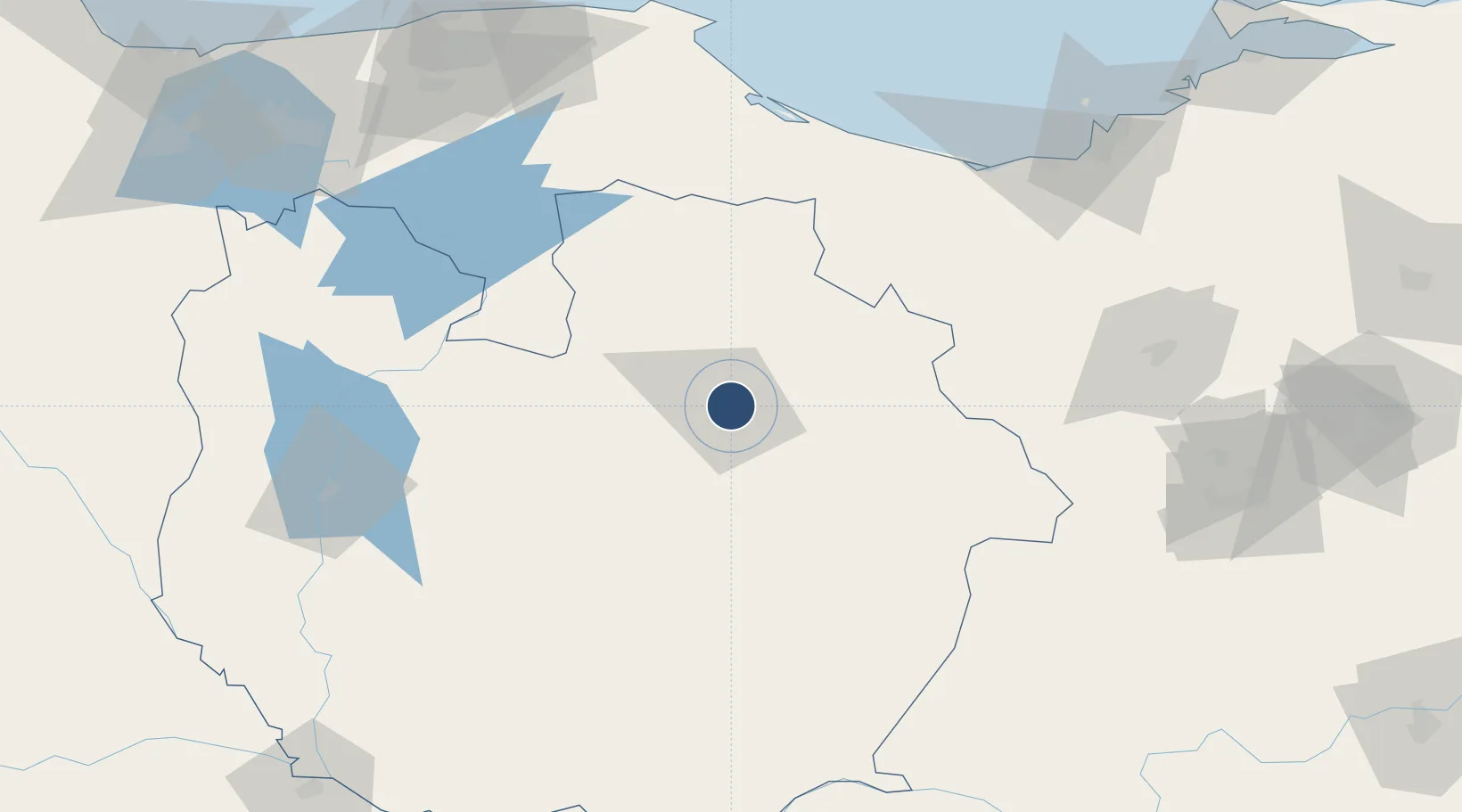
9.2220°, -65.9936°
4,921 ft
Longest runway
1
Runways
410 ft
Elevation

Runway & Layout

Valle de La Pascua Airport runway & taxiway layout
Runway & taxiway layout — OpenStreetMap (ODbL) / OurAirports

Radio Frequencies

TWR
118.65 MHz
OurAirports

Navaids

VPA VOR-DME Valle De La Pascua 117.80 MHz
OurAirports

Runways · 1

RunwayDimensions SurfaceTrue headingLit
08/26 4,921 × 164ft Asphalt 072°
OurAirports

Airport Specifications

IATA code
VDP
OurAirports
ICAO code
SVVP
OurAirports
Airport class
Medium airport
OurAirports
Scheduled service
No
OurAirports
Runway surface
Asphalt
OurAirports

Location

Location of SVVP
Natural Earth 10m (public domain) · Guárico · SVVP · 9.22, -65.99GoogleOSMYandex

Nearby Logistics Neighbours

Airports
  1. 1Metropolitano International Airport134 km
  2. 2Caracas Óscar Machado Zuloaga International Airport149 km
  3. 3Calabozo Airport160 km
  4. 4Generalissimo Francisco de Miranda Air Base169 km
  5. 5Anaco Airport169 km
Nearest neighbours — logibook spatial index (haversine) over the source coordinates
Cities
  1. 1El Jose96 km
  2. 2La Trinidad109 km
  3. 3Fila de Mariches145 km
  4. 4Guatire151 km
  5. 5Los Anaucos153 km
Nearest neighbours — logibook spatial index (haversine) over the source coordinates
Ports
  1. 1Jose Terminal159 km
  2. 2La Guaira186 km
  3. 3Puerto La Cruz188 km
  4. 4Catia La Mar190 km
  5. 5Guanta192 km
Nearest neighbours — logibook spatial index (haversine) over the source coordinates
DatabookThe Record of Consolidated Knowledge
Venezuela beyond logistics?
Browse databook

All Sources

AirportsOurAirports
Public domain
Portsthe NGA World Port Index
Public domain (US gov)
LocationsUN/LOCODE
UN/LOCODE — free
Trade Zonesthe World Bank SEZ database
CC BY 4.0
Trade ZonesOpen Zone Map
CC BY
InfrastructureOpenStreetMap
ODbL 1.0
← Venezuela airports