Medium airport · Venezuela

Calabozo AirportSVCL
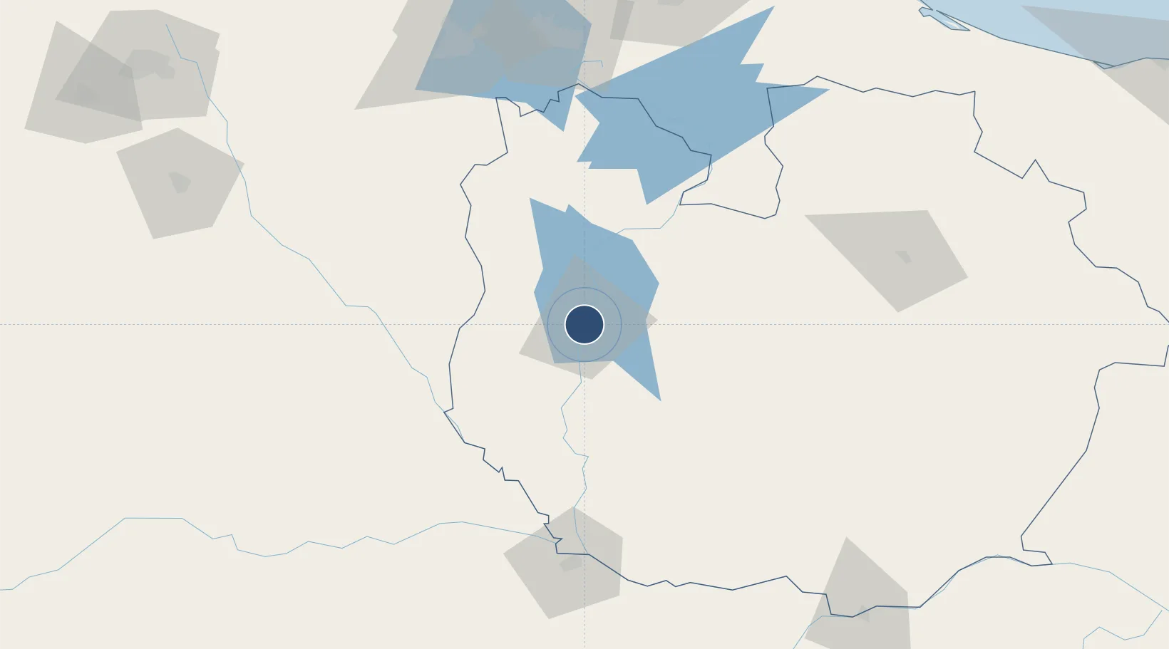
8.9247°, -67.4171°
4,790 ft
Longest runway
1
Runways
328 ft
Elevation

Runway & Layout

Calabozo Airport runway & taxiway layout
Runway & taxiway layout — OpenStreetMap (ODbL) / OurAirports

Radio Frequencies

TWR
118.45 MHz
OurAirports

Navaids

CZO VOR-DME Calabozo 116.30 MHz
CZO NDB Calabozo 215 kHz
OurAirports

Runways · 1

RunwayDimensions SurfaceTrue headingLit
09/27 4,790 × 115ft Asphalt 084°
OurAirports

Airport Specifications

IATA code
CLZ
OurAirports
ICAO code
SVCL
OurAirports
Airport class
Medium airport
OurAirports
Scheduled service
No
OurAirports
Runway surface
Asphalt
OurAirports
Served city
Guarico
OurAirports

Location

Location of SVCL
Natural Earth 10m (public domain) · Guárico · SVCL · 8.92, -67.42GoogleOSMYandex

Nearby Logistics Neighbours

Airports
  1. 1San Juan de Los Morros Airport109 km
  2. 2San Fernando de Apure Las Flecheras National Airport116 km
  3. 3El Libertador Airbase141 km
  4. 4Arturo Michelena International Airport147 km
  5. 5Escuela Mariscal Sucre Airport150 km
Nearest neighbours — logibook spatial index (haversine) over the source coordinates
Cities
  1. 1El Consejo146 km
  2. 2Los Guayos151 km
  3. 3Paracotos158 km
  4. 4San Diego158 km
  5. 5Los Teques162 km
Nearest neighbours — logibook spatial index (haversine) over the source coordinates
Ports
  1. 1Puerto Borburata184 km
  2. 2Puerto Cabello185 km
  3. 3El Palito190 km
  4. 4Catia La Mar191 km
  5. 5La Guaira196 km
Nearest neighbours — logibook spatial index (haversine) over the source coordinates
Trade Zones
  1. 1Guarenas-Guatire Special Economic Zone195 km
  2. 2Morón Puerto Cabello Special Economic Zone199 km
  3. 3Harbor Free Zone Curaçao389 km
  4. 4Zona Franca Industrial, Comercial y de Servicios de Cumaná391 km
  5. 5Industrial Park Brievengat394 km
Nearest neighbours — logibook spatial index (haversine) over the source coordinates
DatabookThe Record of Consolidated Knowledge
Venezuela beyond logistics?
Browse databook

All Sources

AirportsOurAirports
Public domain
Portsthe NGA World Port Index
Public domain (US gov)
LocationsUN/LOCODE
UN/LOCODE — free
Trade Zonesthe World Bank SEZ database
CC BY 4.0
Trade ZonesOpen Zone Map
CC BY
InfrastructureOpenStreetMap
ODbL 1.0
← Venezuela airports