Transport Functions
Road
Multimodal
Hub Profile
Place type
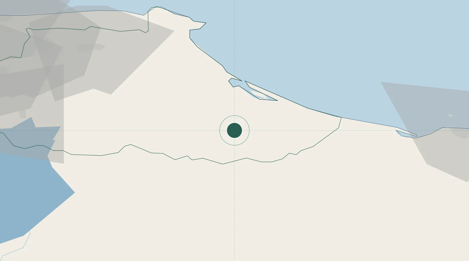
Populated place
Region
Anzoátegui
Time zone
America/Caracas
Elevation
8 m
Location
Nearby Logistics Neighbours
Cities
- 1La Trinidad22 km
- 2Guatire80 km
- 3Fila de Mariches82 km
- 4Guarenas88 km
- 5Los Anaucos107 km
Ports
- 1Jose Terminal117 km
- 2La Guaira126 km
- 3Catia La Mar133 km
- 4Puerto La Cruz142 km
- 5Guanta147 km
Airports
DatabookThe Record of Consolidated Knowledge
Venezuela beyond logistics?