Channel & Berth Profile
Pilotage, Tugs & Services
Pilotage compulsoryYES
Pilotage availableYES
Tug assistanceYES
Potable waterYES
MedicalYES
Garbage disposalYES
Facilities & Capabilities
Container—
Ro-Ro—
Liquid bulk—
Dry bulk—
Oil terminal—
Break bulk—
Dry dock—
RepairsNO
BunkeringYES
Rail linkYES
Dangerous cargo—
ISPS security—
Harbour Specifications
Harbour size
Small
Harbour type
Coastal (Natural)
Shelter
Fair
Water body
Caribbean Sea; North Atlantic Ocean
Overhead limit
No
Pilotage
Yes
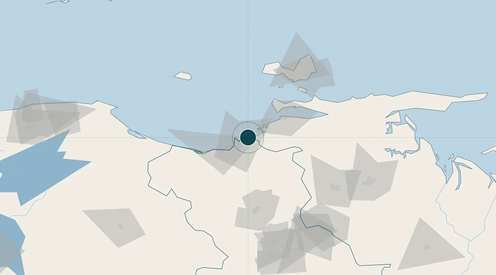
Location
Nearby Logistics Neighbours
Ports
- 1Guanta3 km
- 2Puerto La Cruz8 km
- 3Jose Terminal34 km
- 4Cumana (Puerto Sucre)49 km
- 5El Guamache90 km
Cities
- 1Guanta4 km
- 2El Chaure6 km
- 3Petrozuata32 km
- 4Jose Terminal34 km
- 5Puerto Carenero52 km
Airports
DatabookThe Record of Consolidated Knowledge
Venezuela beyond logistics?