Transport Functions
Multimodal
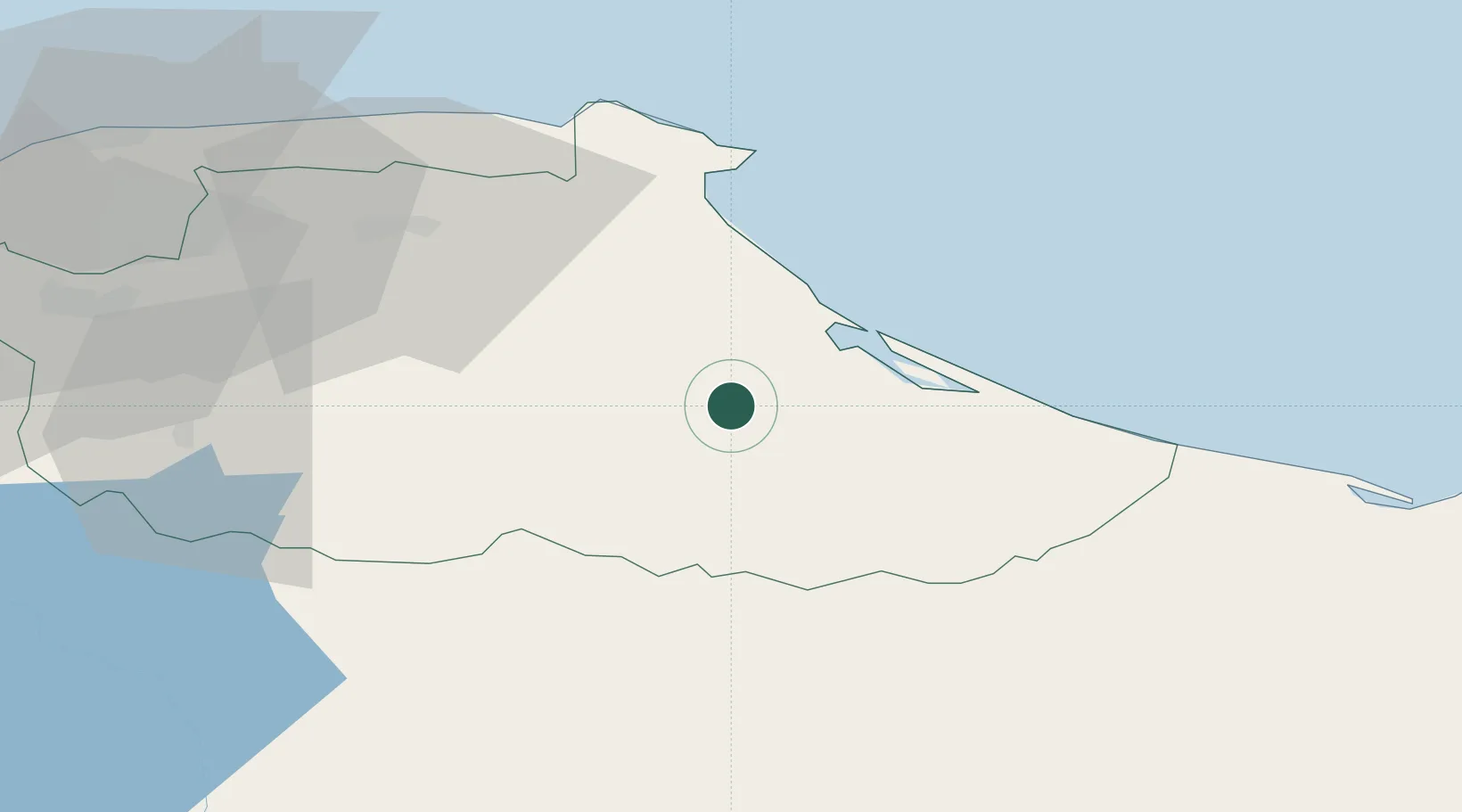
Hub Profile
Place type
Populated place
Region
Miranda
Time zone
America/Caracas
Elevation
30 m
Location
Nearby Logistics Neighbours
Cities
- 1El Jose22 km
- 2Guatire58 km
- 3Fila de Mariches60 km
- 4Guarenas65 km
- 5El Cafetal86 km
Ports
- 1La Guaira104 km
- 2Catia La Mar111 km
- 3Jose Terminal136 km
- 4Puerto La Cruz159 km
- 5Guanta164 km
Airports
DatabookThe Record of Consolidated Knowledge
Venezuela beyond logistics?