Economic Revitalization Project · Venezuela

Zona Franca Industrial, Comercial y de Servicios de Cumaná Active
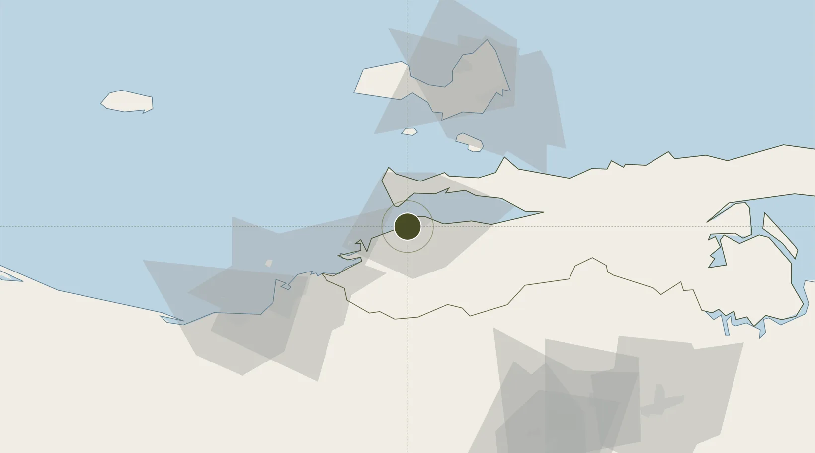
10.4378°, -64.1957°
4,569 ha
Zone area
3.5 km
Nearest port
7.3 km
Nearest airport

Gateway access

Nearest neighbours — logibook spatial index (haversine) over the source coordinates

Zone profile

Zone type
Economic Revitalization Project
Open Zone Map
Region
Sucre
Open Zone Map
Status
Active
Open Zone Map
Management
Public
Open Zone Map
Operator
SENIAT
Open Zone Map
Legal framework
Gaceta Oficial de la República Bolivariana de Venezuela N° 36.249
Open Zone Map

Location

Location of ozm-5020
Natural Earth 10m (public domain) · Sucre · ozm-5020 · 10.44, -64.20GoogleOSMYandex

Nearby Logistics Neighbours

Ports
  1. 1Cumana (Puerto Sucre)4 km
  2. 2Bahia De Pertigalete47 km
  3. 3Guanta47 km
  4. 4Puerto La Cruz52 km
  5. 5El Guamache52 km
Nearest neighbours — logibook spatial index (haversine) over the source coordinates
Cities
  1. 1Puerto Carenero6 km
  2. 2Guanta49 km
  3. 3El Chaure51 km
  4. 4Agua de Vaca67 km
  5. 5La Asuncion75 km
Nearest neighbours — logibook spatial index (haversine) over the source coordinates
Trade Zones
  1. 1Free Port of the Nueva Esparta State50 km
  2. 2Guarenas-Guatire Special Economic Zone262 km
  3. 3Point Fortin Industrial Park276 km
  4. 4Diamond Vale Industrial Park290 km
  5. 5Abbatoir295 km
Nearest neighbours — logibook spatial index (haversine) over the source coordinates
DatabookThe Record of Consolidated Knowledge
Venezuela beyond logistics?
Browse databook

All Sources

Trade ZonesOpen Zone Map
CC BY
Portsthe NGA World Port Index
Public domain (US gov)
AirportsOurAirports
Public domain
LocationsUN/LOCODE
UN/LOCODE — free
← Venezuela trade zones