Medium airport · Peru

Mayor General FAP Armando Revoredo Iglesias AirportSPJR
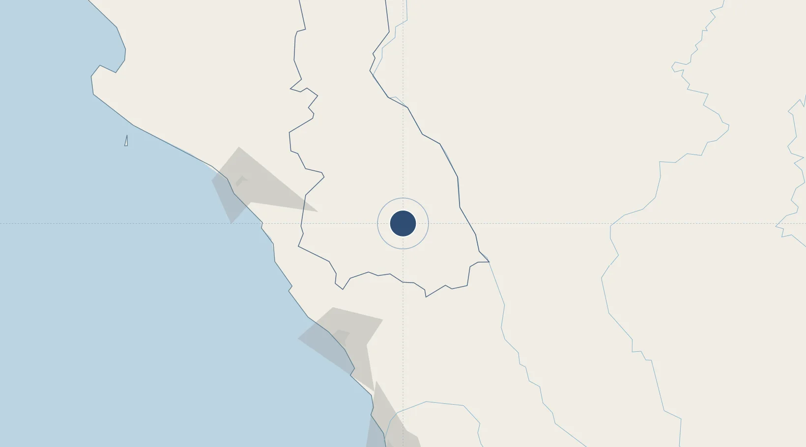
-7.1392°, -78.4894°
8,201 ft
Longest runway
1
Runways
8,781 ft
Elevation

Runway & Layout

Mayor General FAP Armando Revoredo Iglesias Airport runway & taxiway layout
Runway & taxiway layout — OpenStreetMap (ODbL) / OurAirports

Radio Frequencies

TWR
118.1 MHz
CAJAMARCA TWR
OurAirports

Navaids

MAR NDB Cajamarca 300 kHz
OurAirports

Runways · 1

RunwayDimensions SurfaceTrue headingLit
16/34 8,201 × 148ft Asphalt 158°
OurAirports

Airport Specifications

IATA code
CJA
OurAirports
ICAO code
SPJR
OurAirports
Airport class
Medium airport
OurAirports
Scheduled service
Yes
OurAirports
Runway surface
Asphalt
OurAirports
Served city
Cajamarca
OurAirports

Location

Location of SPJR
Natural Earth 10m (public domain) · Cajamarca · SPJR · -7.14, -78.49GoogleOSMYandex

Nearby Logistics Neighbours

Airports
  1. 1Capitán FAP Carlos Martínez de Pinillos International Airport125 km
  2. 2Chachapoyas Airport126 km
  3. 3Capitán FAP José A. Quiñones González International Airport153 km
  4. 4Shumba Airport175 km
  5. 5Juan Simons Vela Airport189 km
Nearest neighbours — logibook spatial index (haversine) over the source coordinates
Cities
  1. 1Conchán83 km
  2. 2Chepen106 km
  3. 3Salaverry132 km
  4. 4Virú145 km
  5. 5Trujillo164 km
Nearest neighbours — logibook spatial index (haversine) over the source coordinates
Ports
  1. 1Salaverry133 km
  2. 2Pimentel163 km
  3. 3Puerto De Chimbote217 km
  4. 4Puerto Bayovar318 km
  5. 5Punta Lobitos (Bahia De Huarmey)331 km
Nearest neighbours — logibook spatial index (haversine) over the source coordinates
Trade Zones
  1. 1Zona Especial de Desarrollo Paita (Special Development Zone of Paita)367 km
  2. 2Zona Franca del Oro456 km
  3. 3Posorja ZofraPort SA Free Zone531 km
  4. 4DP World Posorja531 km
  5. 5Contecon Guayaquil Free Zone563 km
Nearest neighbours — logibook spatial index (haversine) over the source coordinates
DatabookThe Record of Consolidated Knowledge
Peru beyond logistics?
Browse databook

All Sources

AirportsOurAirports
Public domain
Portsthe NGA World Port Index
Public domain (US gov)
LocationsUN/LOCODE
UN/LOCODE — free
Trade Zonesthe World Bank SEZ database
CC BY 4.0
Trade ZonesOpen Zone Map
CC BY
InfrastructureOpenStreetMap
ODbL 1.0
← Peru airports