Transport Functions
Multimodal
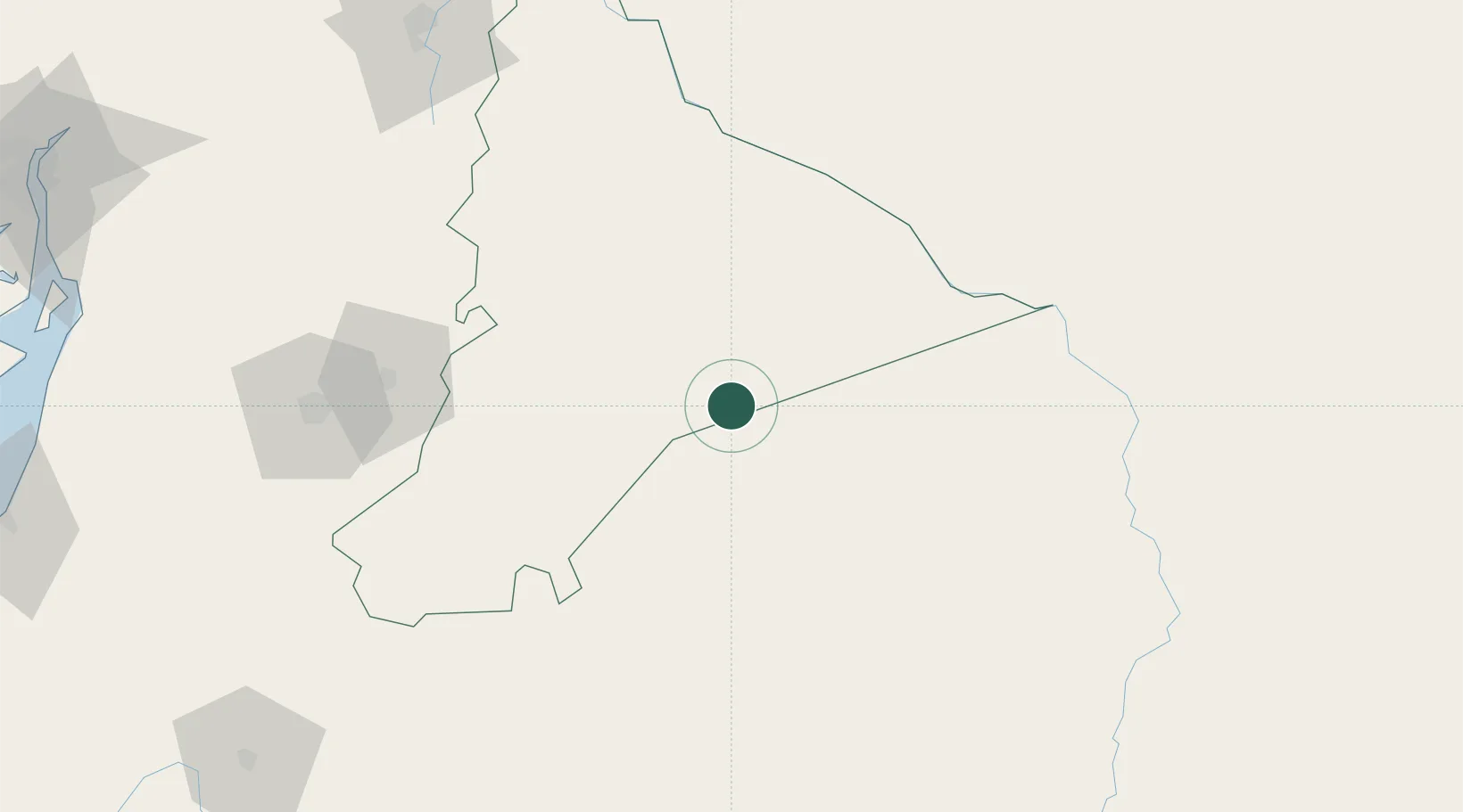
Hub Profile
Place type
Populated place
Region
Morona-Santiago Province
Time zone
America/Guayaquil
Elevation
220 m
Location
Nearby Logistics Neighbours
Cities
- 1Paute119 km
- 2Guano179 km
- 3El Triunfo193 km
- 4Pelileo198 km
- 5Tisaleo203 km
Ports
- 1Puerto Maritimo De Guayaquil255 km
- 2Guayaquil256 km
- 3Puerto Bolivar261 km
- 4La Libertad367 km
- 5Manta400 km
Airports
- 1Coronel E Carvajal Airport81 km
- 2Mariscal Lamar Airport145 km
- 3Jumandy Airport203 km
- 4Chachoán Regional Airport211 km
- 5Ciudad de Catamayo Airport225 km
Trade Zones
- 1Zona Franca del Oro251 km
- 2Contecon Guayaquil Free Zone256 km
- 3Zona Franca Esmeraldas262 km
- 4Posorja ZofraPort SA Free Zone286 km
- 5DP World Posorja286 km
DatabookThe Record of Consolidated Knowledge
Ecuador beyond logistics?