Medium airport · Peru
Shumba AirportSPJE
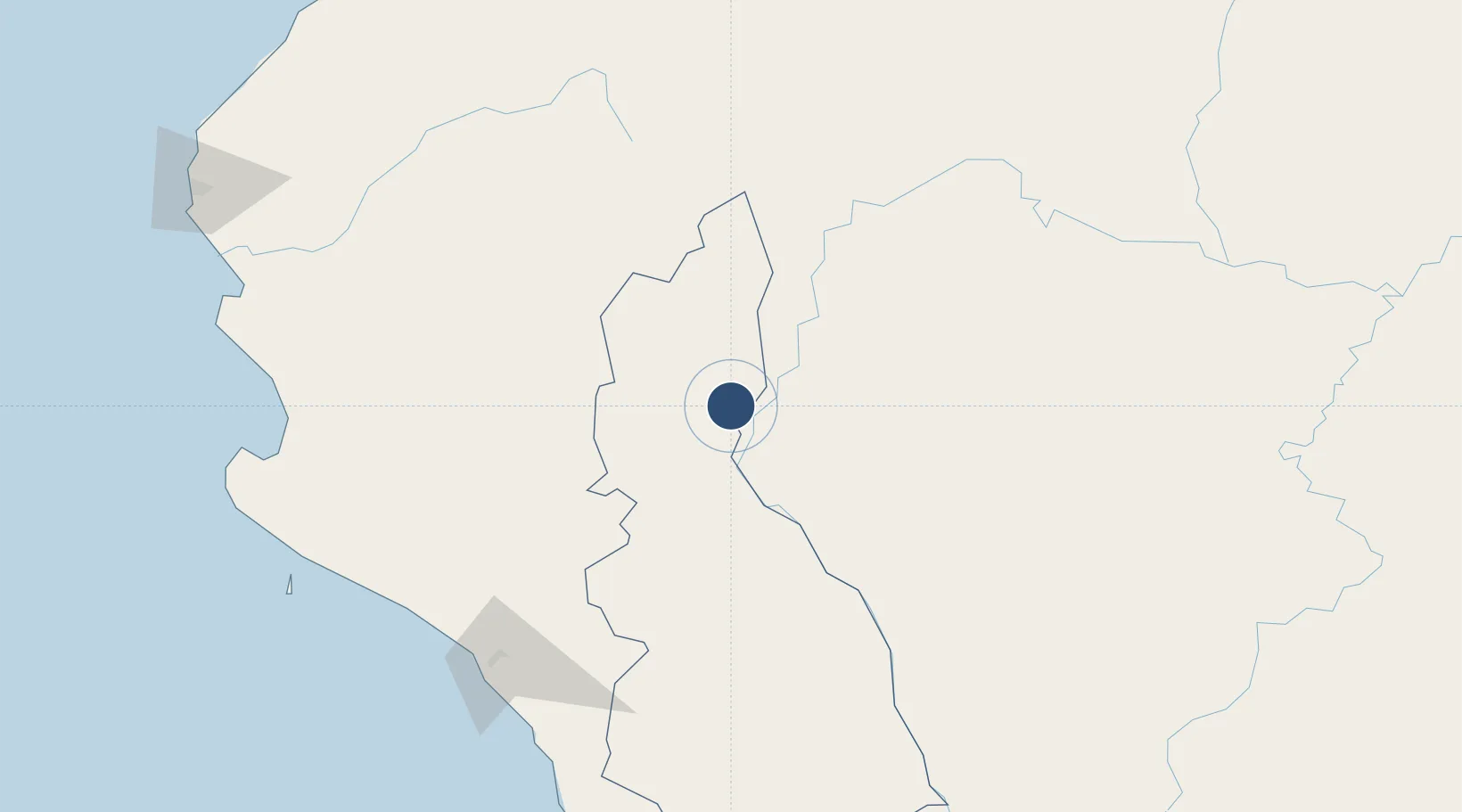
-5.5925°, -78.7740°
7,874 ft
Longest runway
1
Runways
2,477 ft
Elevation
Runway & Layout

Radio Frequencies
RDO
126.9 MHz
JAEN RDO
Runways · 1
| Runway | Dimensions | Surface | True heading | Lit |
|---|---|---|---|---|
| 16/34 | 7,874 × 148ft | Asphalt | 163° | — |
Airport Specifications
IATA code
JAE
ICAO code
SPJE
Airport class
Medium airport
Scheduled service
Yes
Runway surface
Asphalt
Served city
Jaén
Location
Nearby Logistics Neighbours
Airports
Cities
- 1San Ignacio57 km
- 2Conchán92 km
- 3Olmos115 km
- 4Chepen195 km
- 5Bayovar255 km
Ports
- 1Pimentel188 km
- 2Puerto Bayovar253 km
- 3Paita266 km
- 4Puerto Bolivar292 km
- 5Salaverry295 km
Trade Zones
DatabookThe Record of Consolidated Knowledge
Peru beyond logistics?