Medium airport · Brazil

Russas - João de Deus Regional AirportBR-2182
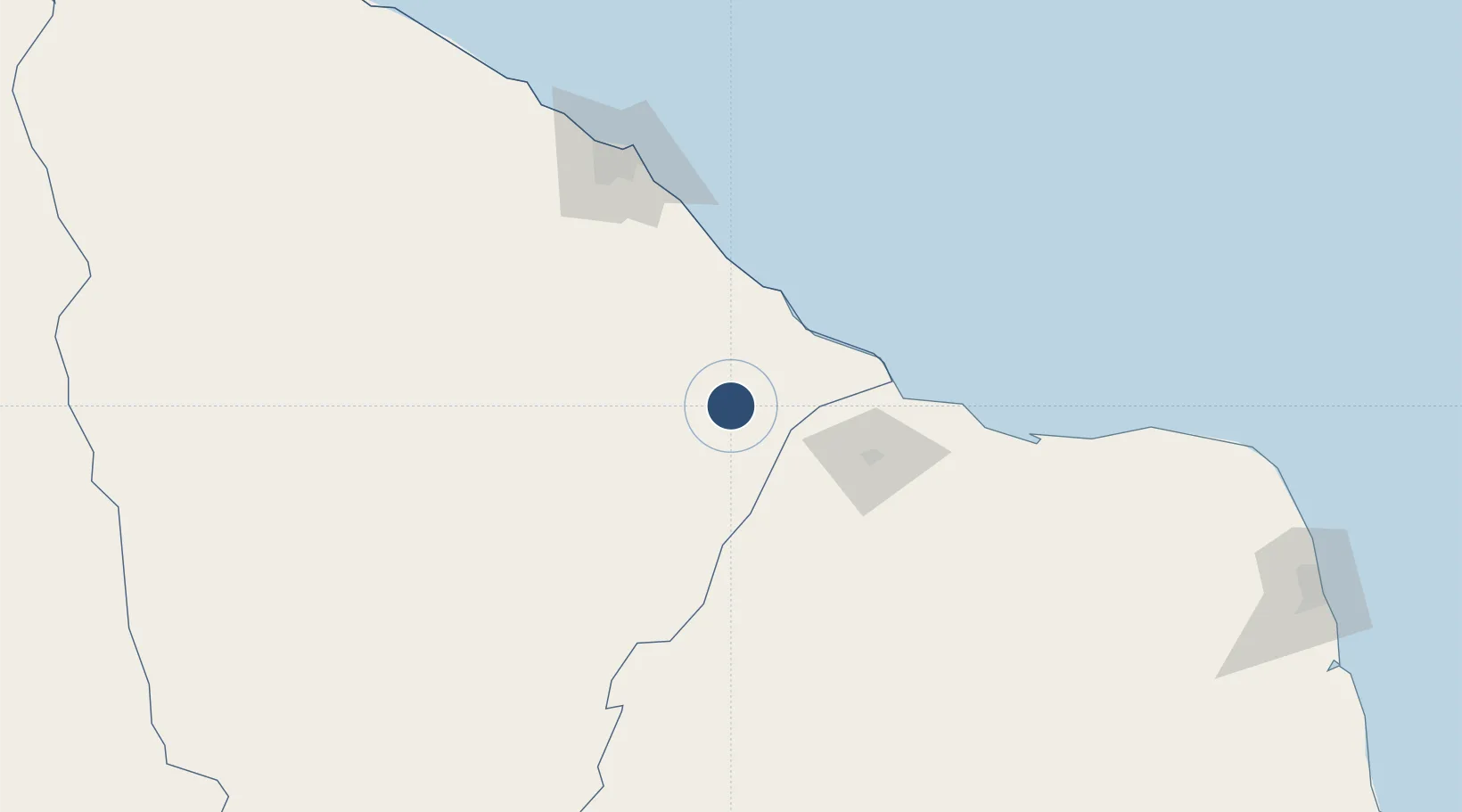
-4.9473°, -38.0082°
3,527 ft
Longest runway
1
Runways
115 ft
Elevation

Runway & Layout

Russas - João de Deus Regional Airport runway & taxiway layout
Runway & taxiway layout — OpenStreetMap (ODbL) / OurAirports

Runways · 1

RunwayDimensions SurfaceTrue headingLit
7/25 3,527 × 89ft Asphalt
OurAirports

Airport Specifications

Airport class
Medium airport
OurAirports
Scheduled service
No
OurAirports
Runway surface
Asphalt
OurAirports
Served city
Russas
OurAirports

Location

Location of BR-2182
Natural Earth 10m (public domain) · Ceará · BR-2182 · -4.95, -38.01GoogleOSMYandex

Nearby Logistics Neighbours

Airports
  1. 1Aracati Dragão do Mar Regional Airport48 km
  2. 2Dix-Sept Rosado Airport77 km
  3. 3Quixadá Airport109 km
  4. 4Pinto Martins International Airport143 km
  5. 5Pedro Vieira Moreira Airport226 km
Nearest neighbours — logibook spatial index (haversine) over the source coordinates
Cities
  1. 1Mossoró78 km
  2. 2Areia Branca99 km
  3. 3Fortaleza140 km
  4. 4Macau153 km
  5. 5Pecém Pt / São Gonçalo do Amarante159 km
Nearest neighbours — logibook spatial index (haversine) over the source coordinates
Ports
  1. 1Guamare Oil Terminal191 km
  2. 2Natal325 km
  3. 3Camocim387 km
  4. 4Cabedelo417 km
  5. 5Recife489 km
Nearest neighbours — logibook spatial index (haversine) over the source coordinates
Trade Zones
  1. 1ZPE de Pecém (CE) ( Port of Pecém)178 km
  2. 2ZPE de Macaíba (RN)301 km
  3. 3ZPE de João Pessoa (PB)417 km
  4. 4ZPE de Parnaíba (PI)472 km
  5. 5ZPE de Suape (PE)509 km
Nearest neighbours — logibook spatial index (haversine) over the source coordinates
DatabookThe Record of Consolidated Knowledge
Brazil beyond logistics?
Browse databook

All Sources

AirportsOurAirports
Public domain
Portsthe NGA World Port Index
Public domain (US gov)
LocationsUN/LOCODE
UN/LOCODE — free
Trade Zonesthe World Bank SEZ database
CC BY 4.0
Trade ZonesOpen Zone Map
CC BY
InfrastructureOpenStreetMap
ODbL 1.0
← Brazil airports